|
6716 successful, primary, confluences, 670 secondary confluences, 393 incomplete confluences, 13579 visitors and 142728 photographs in 196 countries. (more stats) |
|
project links • Information • Contact us • Member page • Worldwide maps • Search • Guess a point from its photo • T-shirts 

|

|
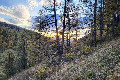
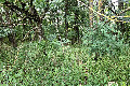
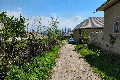
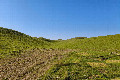
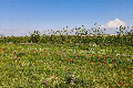
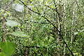
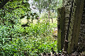
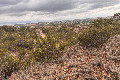
The goal of the project is to visit each of the latitude
and longitude integer degree intersections in the world,
and to take pictures at each location. The pictures, and
stories about the visits, will then be posted here. |
||
|
Overview The project is an organized sampling of the world. There is a confluence within 49 miles (79 km) of you if you're on the surface of Earth. We've discounted confluences in the oceans and some near the poles, but there are still 9,633 to be found. You're invited to help by visiting and photographing any one of these places. Read the Information pages, and contact us if you have questions. |
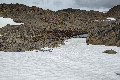
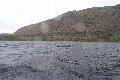
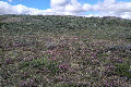
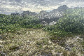
Four new confluences on 68-th North Alexander Mashnikov and his team completed an incredible ski expedition over the Arctic Circle, discovering 4 new confluences at 68 degrees north latitude. The story starts here 25 confluences (14 new) in one journey During 4400 km journey on Northern Kazakhstan Valera and Denis visited 25 confluences, 14 of them were new-visited. It took only 6 days. The story starts 53°N 76°E Older news... |
|
|
18 newest confluence visits The date the confluence is posted to the site is used to determine the newest confluence visits.
|
||||||||||||||||||||||||||||||||||||||