|


Slovenia
1.5 km (0.9 miles) W of Idrija, Slovenia
Approx. altitude: 538 m
(1765 ft)
([?] maps: Google MapQuest OpenStreetMap ConfluenceNavigator)
Antipode: 46°S 166°W
Accuracy: 99 m (324 ft)
Quality: good
Click on any of the images for the full-sized picture.
| 46°N 14°E (visit #6) |
![Visit #5: [22-Dec-18]](/si/all/n46e014v5/preview.jpg "Visit #5: [22-Dec-18]")
![Visit #4: [29-Aug-13]](/si/all/n46e014v4/preview.jpg "Visit #4: [29-Aug-13]")
![Visit #3: [26-Aug-08]](/si/all/n46e014v3/preview.jpg "Visit #3: [26-Aug-08]")
![Visit #2: [02-May-08]](/si/all/n46e014v2/preview.jpg "Visit #2: [02-May-08]")
![Visit #1: [27-May-01]](/si/all/n46e014/preview.jpg "Visit #1: [27-May-01]")
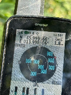
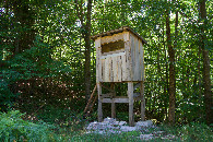
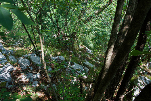 (visited by Ross Finlayson) 27-Jul-2026 -- En route from Ljubliana to Lake Bled, I made a detour to visit this Degree Confluence Point, thus completing visits to the two points in the nation of Slovenia. After passing through the historic mercury mining town of Idrija, I ascended a narrow country road that - although paved - was often too narrow for more than one car at a time. I wasn’t sure how best to approach this point, but once again Open Street Map helped me, because it showed a path off the paved road, starting at [45.99554,13.99287], about 740m SW of the point. Fortunately I was able to find space on the side of the road to park, and I started hiking on this path - a steep narrow rock-strewn path that eventually (at [45.99739,13.99503], 480m SE of the point) connected with a much wider doubletrack path. (There was a hunting blind here, just a few meters away.) This path eventually passed about 130m to the WSW of the point, which lies down an extremely steep slope. When I started negotiating the very steep, rocky slope towards the point, I could tell immediately that I was going to struggle to get even within 100m of the point (close enough for a successful visit). But I eventually got 97m (+/- GPS error of 2m) from the point, and declared victory. I climbed back up and flew my drone from just beside the path, about 120m from the point. Here is a remote-controlled aerial video of this confluence point. |
| All pictures |
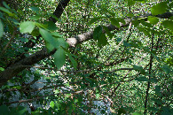
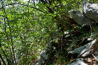
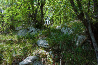
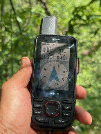
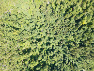
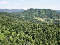
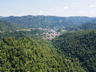
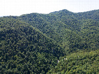
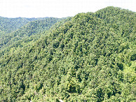
| #1: The confluence point lies down this very steep, rocky slope. (This is also a view to the East.) #2: View North #3: View South #4: View West (up the slope) #5: My GPS receiver, 97m from the point (GPS+Galileo+BeiDou) #6: My GPS receiver, 97m from the point (GPS+Galileo+BeiDou) #7: Looking down on the point from a height of 120m #8: View North, from 120m above the point #9: View East (towards the town of Idrija), from 120m above the point #10: View South, from 120m above the point #11: View West, from 120m above the point #12: A hunting blind beside the access road, about 450m from the point ALL: All pictures on one page |