|


Spain : La Rioja
4.0 km (2.5 miles) NNW of Inestrillas, La Rioja, Spain
Approx. altitude: 746 m
(2447 ft)
([?] maps: Google MapQuest OpenStreetMap ConfluenceNavigator)
Antipode: 42°S 178°E
Accuracy: 2 m (6 ft)
Quality: good
Click on any of the images for the full-sized picture.
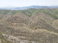
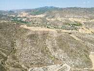
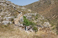
| 42°N 2°W (visit #4) |
![Visit #3: [09-Oct-18]](/es/all/n42w002v3/preview.jpg "Visit #3: [09-Oct-18]")
![Visit #2: [11-Oct-07]](/es/all/n42w002v2/preview.jpg "Visit #2: [11-Oct-07]")
![Visit #1: [29-Mar-02]](/es/all/n42w002/preview.jpg "Visit #1: [29-Mar-02]")
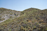
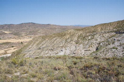 (visited by Ross Finlayson) 11-Aug-2026 -- Driving south from Pamplona to Jaraba, I made a small detour to visit this point, which I had skipped on the outward leg of my journey. Reviewing satellite imagery beforehand, I identified a junction with a doubletrack road at [42.00482,-1.99681] (600m NE of the point) as a good place to start hiking. But how to drive there? I eventually found a way, by taking a narrow (sometimes paved; sometimes gravel) rural road westward from the small town of Cervera del Rio Alhama. After parking, I hiked up the doubletrack road, then - about 400m ENE of the point - I entered a grassy, terraced field. Then, starting about 185m East of the point, I bushwhacked up a hill, and then along a small ridge to reach the point, which lies near the end of the ridge. (Remarkably, there was a primitive path that I was able to follow most of the way.) The vegetation and terrain here was very reminiscent of desert regions in the western U.S. (early Spanish explorers there must have felt very much at home). From the Degree Confluence Point, I flew my drone down the hill, to explore the small farm at the bottom. |
| All pictures |
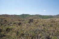
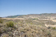
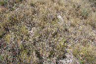
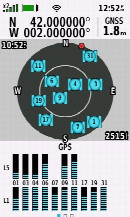
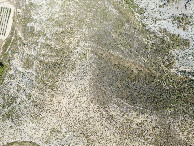
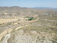
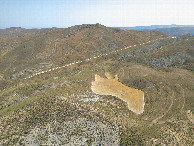
| #1: The confluence point lies in scrub-covered land, at the end of a small ridge. (This is also a view to the North.) #2: View East #3: View South #4: View West #5: Ground cover at the confluence point #6: All zeros! (GPS+Galileo+BeiDou) #7: Looking down on the point from a height of 120m #8: View North, from 120m above the point #9: View East, from 120m above the point #10: View South, from 120m above the point #11: View West, from 120m above the point #12: An abandoned corral, near my parking spot (600m NE of the point) ALL: All pictures on one page |