|


Spain : Galicia
1.4 km (0.9 miles) E of Queizán, Lugo, Galicia, Spain
Approx. altitude: 519 m
(1702 ft)
([?] maps: Google MapQuest OpenStreetMap ConfluenceNavigator)
Antipode: 43°S 173°E
Accuracy: 3 m (9 ft)
Quality: good
Click on any of the images for the full-sized picture.
| 43°N 7°W (visit #6) |
![Visit #5: [05-May-23]](/es/all/n43w007v5/preview.jpg "Visit #5: [05-May-23]")
![Visit #4: [30-Apr-23]](/es/all/n43w007v4/preview.jpg "Visit #4: [30-Apr-23]")
![Visit #3: [25-Oct-08]](/es/all/n43w007v3/preview.jpg "Visit #3: [25-Oct-08]")
![Visit #2: [09-Oct-07]](/es/all/n43w007v2/preview.jpg "Visit #2: [09-Oct-07]")
![Visit #1: [15-Dec-01]](/es/all/n43w007/preview.jpg "Visit #1: [15-Dec-01]")
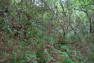
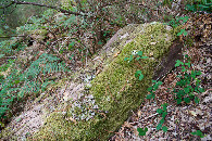
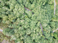
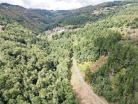
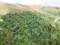
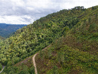
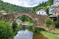
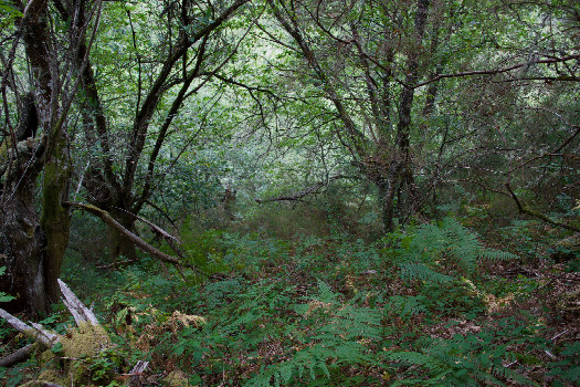 (visited by Ross Finlayson) 04-Aug-2026 -- Today was another long drive - this time from Burgos to A Coruña - and there were two Degree Confluence Points close to my route. Unfortunately [42,-4] seemed rather boring (a farm field), and would add more than an hour to my drive, so I decided to skip it. Instead, I decided to visit this point, in part because I was intrigued by Rainer Mautz’s mention of a "famous medieval bridge” in the nearby town of Navia de Suarna, which I passed en route to the point. This bridge was, indeed, very photogenic; I’m glad I got to see it. As I approached the point, I could tell that it lay on a steep slope between two narrow paved roads. The left-hand road passed about 30 meters West of the point, but above it. The right-hand road passed about 35 meters East of the point, but below it. Which approach should I take? I decided to start from the right-hand road (i.e., the lower road, from the East), because it looked slightly less steep. Also, I found the traces of a path - perhaps used by previous visitors - starting at [43.00034,-6.99984]. As I climbed the slope, I had to battle blackberry vines and gorse (I wish I’d worn long trousers!). Unfortunately I didn’t see any chestnuts on the ground; perhaps this is the wrong time of the year. I was able to get within 1m (+/- GPS error of 2m) of the point, which lay next to a large downed tree trunk. (Unfortunately, I accidentally deleted my usual GPS screenshot before I could save it.) The tree canopy at the point was far too dense for me to fly my drone, so instead I flew it from the road, about 40m to the Northeast. Here is a remote-controlled aerial video of this confluence point. |
| All pictures |
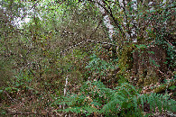
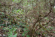
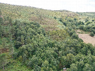
| #1: The confluence point lies on a steep, forested hillside, between two narrow paved roads. (This is also a view to the East, down the slope.) #2: View North #3: View South #4: View West #5: Ground cover (a downed tree trunk) at the confluence point #7: Looking down on the point from a height of 120m #8: View North, from 120m above the point #9: View East, from 120m above the point #10: View South, from 120m above the point #11: View West, from 120m above the point #12: The photogenic medieval bridge at nearby Navia de Suarna ALL: All pictures on one page |