|


Spain : Castilla y León
1.4 km (0.9 miles) W of Villargusán, León, Castilla y León, Spain
Approx. altitude: 1221 m
(4005 ft)
([?] maps: Google MapQuest OpenStreetMap ConfluenceNavigator)
Antipode: 43°S 174°E
Accuracy: 2 m (6 ft)
Quality: good
Click on any of the images for the full-sized picture.
| 43°N 6°W (visit #5) |
![Visit #4: [06-May-23]](/es/all/n43w006v4/preview.jpg "Visit #4: [06-May-23]")
![Visit #3: [01-May-23]](/es/all/n43w006v3/preview.jpg "Visit #3: [01-May-23]")
![Visit #2: [23-Jun-07]](/es/all/n43w006v2/preview.jpg "Visit #2: [23-Jun-07]")
![Visit #1: [23-Aug-01]](/es/all/n43w006/preview.jpg "Visit #1: [23-Aug-01]")
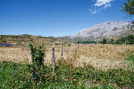
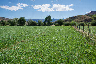
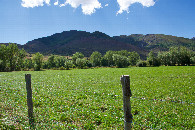
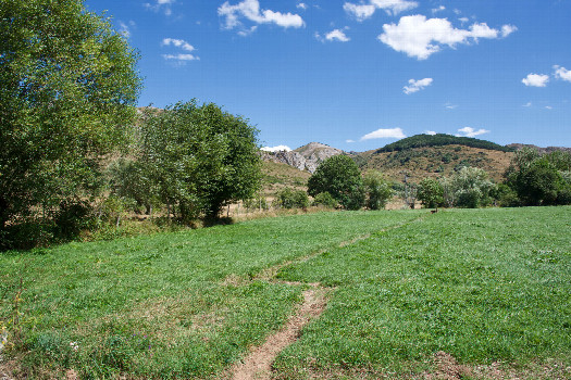 (visited by Ross Finlayson) 06-Aug-2026 -- Having some time to spare before checking into my hotel in Gijón, I decided to visit this Degree Confluence Point. And I’m very glad that I did, because I got to experience the spectacular “autovia” (motorway) through the scenic mountains south of Oviedo. Once again, the Degree Confluence Project takes me to places that I would not previously have experienced. This point is very easy to get to; it lies in a small farm field, just 65m north of a narrow gravel road. (The trickiest part of the visit was finding a good place to park on the side of the road.) The point lies close to a fence near the back of the field, near a small ditch. There were no animals grazing in the field at the time of my visit. |
| All pictures |
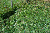
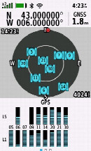
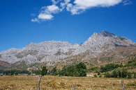
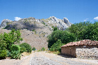
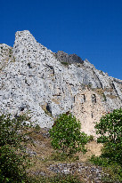
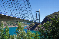
| #1: The confluence point lies in a small farm field. (This is also a view to the East.) #2: View North #3: View South (towards the gravel road, 65m away) #4: View West #5: Ground cover at the confluence point #6: All zeros! (GPS+Galileo+BeiDou) #7: A closeup view of the mountains ("Picos del Fontán”) to the NNE of the point #8: The village of "Villafeliz de Babia”, 6.5 km SSE of the point #9: "Ermita de Pruneda”, 7.2 km SSE of the point #10: "Puente Fernández Casado”, 14.5 km SE of the point ALL: All pictures on one page |
| Notes |
|
In the Parque Natural del Valle de San Emiliano. |