|


Spain : Cantabria
1.9 km (1.2 miles) S of Bustamante, Cantabria, Spain
Approx. altitude: 835 m
(2739 ft)
([?] maps: Google MapQuest OpenStreetMap ConfluenceNavigator)
Antipode: 43°S 176°E
Accuracy: 247 m (810 ft)
Quality: good
Click on any of the images for the full-sized picture.
| 43°N 4°W (visit #6) | (incomplete) |
![Visit #5: [08-May-23]](/es/all/n43w004v5/preview.jpg "Visit #5: [08-May-23]")
![Visit #2: [26-Apr-04]](/es/all/n43w004v2/preview.jpg "Visit #2: [26-Apr-04]")
![Visit #4: [03-May-23]](/es/all/n43w004v4/preview.jpg "Visit #4: [03-May-23]")
![Visit #3: [01-Apr-12]](/es/all/n43w004v3/preview.jpg "Visit #3: [01-Apr-12]")
![Visit #1: [22-Aug-01]](/es/all/n43w004/preview.jpg "Visit #1: [22-Aug-01]")
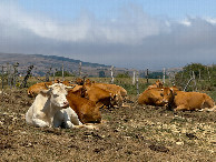
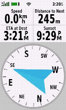
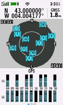
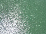
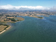
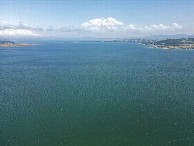
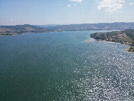
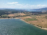
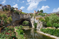
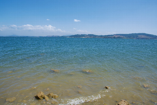 (visited by Ross Finlayson) 09-Aug-2026 -- From [43,-3] I crossed the steep hill to the west, passed through the scenic village of Puentedey (part of which sits atop a natural stone arch), and drove along the north shore of "Embalse del Ebro” - a large artificial lake. I parked at [42.99828,-4.00580] - about 500m WSW of the point - and started walking along the shoreline, to see how close I could get to the point. On the way, I passed several cattle that were relaxing beside (and drinking from) the freshwater lake. Walking along the shoreline, I was able to get 245m from the point. Although I wasn’t able to reach the point on foot, I flew my drone out to it, to get aerial views in each direction. Here is a remote-controlled aerial video of this confluence point. |
| All pictures |
| #1: Looking Southeast from the shoreline towards the confluence point, 245m away #2: Cattle resting beside the shore, about 350m from the point #3: My GPS receiver, 245m from the confluence point (GPS+Galileo+BeiDou) #4: ‘Half zeros’: 43 Degrees North, 340m beyond 4 Degrees West (GPS+Galileo+BeiDou) #7: Looking down on the point from a height of 120m #8: View North, from 120m above the point #9: View East, from 120m above the point #10: View South, from 120m above the point #11: View West, from 120m above the point #12: The picturesque village of Puentedey, visited en route to this point ALL: All pictures on one page |
| Notes |
|
In the water supply dam Embalse del Ebro, about 270 m from the lakeside. |