
| { Main | Search | Countries | Information | Member Page } | |
Confluence Visit List (#1 - #15) |
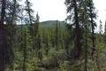
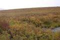
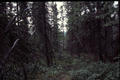 | 61°N 135°W 7.7 km (4.8 miles) NE of Upper Laberge, YT, Canada [10-Sep-01] |
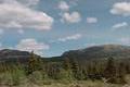
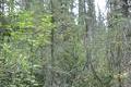
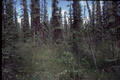 | 61°N 133°W 48.1 km (29.9 miles) NE of Hundred Mile Landing, YT, Canada [14-Sep-01] |
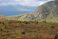
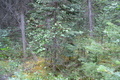
 | 61°N 138°W 10.3 km (6.4 miles) SSW of Ruby Camp, YT, Canada [incomplete] [17-Sep-01] |
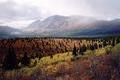
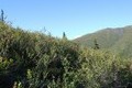
 | 63°N 130°W 105.8 km (65.7 miles) N of Pelly Lakes, YT, Canada [incomplete] [17-Sep-01] |
 | 61°N 137°W 16.4 km (10.2 miles) N of Canyon, YT, Canada [secondary] [19-Jun-02] |
 | 61°N 138°W 10.3 km (6.4 miles) SSW of Ruby Camp, YT, Canada [incomplete] [19-Jun-02] |
 | 61°N 138°W 10.3 km (6.4 miles) SSW of Ruby Camp, YT, Canada [03-Sep-02] |
 | 61°N 136°W 20.1 km (12.5 miles) WNW of Little River, YT, Canada [01-Feb-03] |
 | 67°N 136°W 61.7 km (38.3 miles) SE of Lapierre House, YT, Canada [11-Oct-03] |
 | 64°N 139°W 4.2 km (2.6 miles) NNW of Gold Bottom, YT, Canada [secondary] [17-Aug-04] |
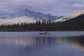
 | 60°N 132°W 9.1 km (5.7 miles) E of Morley River, YT, Canada [30-Jul-06] |
 | 64°N 141°W 8.4 km (5.2 miles) WSW of Glacier Creek, YT, Canada [secondary] [07-Jan-08] |
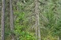 | 64°N 139°W 4.2 km (2.6 miles) NNW of Gold Bottom, YT, Canada [secondary] [07-Jan-08] |
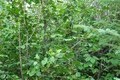 | 67°N 135°W 48.6 km (30.2 miles) S of Fort McPherson (NT), YT, Canada [secondary] [07-Jan-08] |
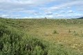 | 62°N 137°W 40.6 km (25.2 miles) WSW of Carmacks, YT, Canada [secondary] [07-Jan-08] |