|


Kazakhstan : Qaraghandy
3.3 km (2.0 miles) S of Akshol, Qaraghandy, Kazakhstan
Approx. altitude: 642 m
(2106 ft)
([?] maps: Google MapQuest OpenStreetMap ConfluenceNavigator)
Antipode: 48°S 104°W
Accuracy: 10 m (32 ft)
Quality: good
Click on any of the images for the full-sized picture.
| 48°N 76°E |
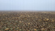
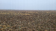
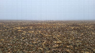
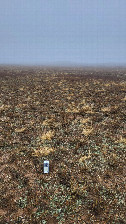
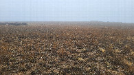
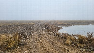
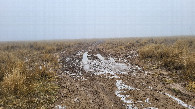
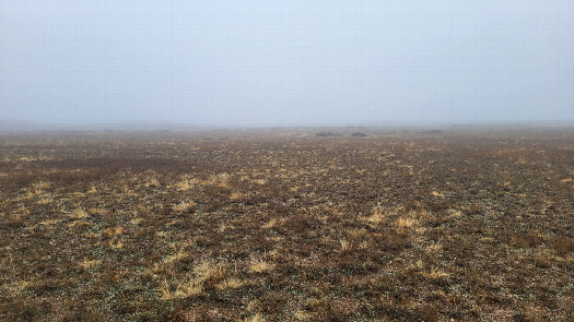 (visited by Valera Parshukov and Oktiabrina Parshukova) 09-Ноября-2023 – После попытки посещения 48°N 75°E мы продолжили движение на восток. На грейдерной суглинистой дороге, ведущей в сторону села Айыртас на отметке 48°00'06,4''N 75°55'05,8''E мы сворачиваем направо на полевую дорогу, преодолеваем грязевые участки, запруду через речку Кусак и прямо по каменистой степи в тумане достигаем конфлюенции. Пересечение находится в степи с низкорослой травянистой растительностью в Абайском сельском округе Актогайского района Карагандинской области. Далее 48°N 77°E. Данные посещения:
09-Nov-2023 – After the attempted visit to 48°N 75°E, we continued moving east. On a loamy grader road leading toward the village of Ayirtas, at the coordinates 48°00'06.4''N 75°55'05.8''E, we turned right onto a field road, overcame muddy sections, a dam across the Kusak River, and reached the confluence directly through the rocky steppe in the fog. The confluence is located in a steppe with low-growing herbaceous vegetation in the Abay Rural District of the Aktogay District of the Karaganda Region. Next is 48°N 77°E. Visit data:
|
| All pictures |
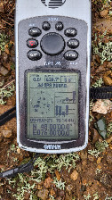
| #1: Восток / East #2: Юг / South #3: Запад / West #4: Север / North #5: GPS reading #6: Место слияния / Confluence spot #7: Местный пейзаж / Local landscape #8: Запруда / Dam #9: Полевая дорога / Field road ALL: All pictures on one page |