|


Kazakhstan : Qaraghandy
5.9 km (3.7 miles) ESE of Zhalantas, Qaraghandy, Kazakhstan
Approx. altitude: 762 m
(2499 ft)
([?] maps: Google MapQuest OpenStreetMap ConfluenceNavigator)
Antipode: 48°S 105°W
Accuracy: 26.3 km (16.4 mi)
Quality: good
Click on any of the images for the full-sized picture.
| 48°N 75°E | (incomplete) |
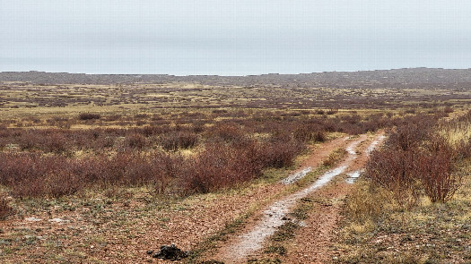 (visited by Valera Parshukov and Oktiabrina Parshukova) 09-Ноября-2023 – Ранее 48°N 73°E. Утром пошёл дождь. Мы заехали в село Актогай в кафе. За селом на отметке 48°14'07,1''N 75°03'42,8''E с асфальтовой дороги мы съехали на степную и проехав 300 м и остановились. До цели по прямой 26,32 км и скользкая грунтовая дорога с дождём, к сожалению, заставили выполнить попытку. С мыслями о возможности посетить две конфлюенции вместо одной за световой день и в более отдаленных районах мы направились к 48°N 76°E. Само пересечение находится в Актогайском районе Карагандинской области. Данные попытки:
09-Nov-2023 – Previously 48°N 73°E. In the morning, it started to rain. We stopped by a cafe in the village of Aktogay. Beyond the village, at the coordinates 48°14'07.1''N 75°03'42.8''E, we turned off the asphalt road onto a steppe road and stopped after driving 300 m. A straight-line distance of 26.32 km to the goal, combined with a slippery dirt road and rain, unfortunately, forced us to log it as an attempt. With thoughts of the possibility of visiting two confluences instead of one during daylight hours and in more remote areas, we headed toward 48°N 76°E. The confluence itself is located in the Aktogay District of the Karaganda Region. Attempt data:
|
| All pictures |
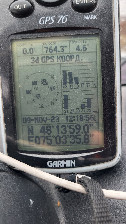
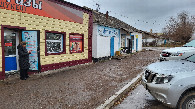
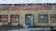
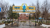
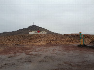
| #1: Вид в сторону пересечения / Towards CP #2: GPS reading #3: У кафе / Near Cafe #4: Дождливая погода / Rainy weather #5: В селе Актогай / In Actogai village #6: Выезд из села / Exit from the village #7: Местный пейзаж / Local landscape ALL: All pictures on one page |