|


Kazakhstan : Qaraghandy
12.4 km (7.7 miles) SE of Ayyrtas, Qaraghandy, Kazakhstan
Approx. altitude: 707 m
(2319 ft)
([?] maps: Google MapQuest OpenStreetMap ConfluenceNavigator)
Antipode: 48°S 103°W
Accuracy: 10 m (32 ft)
Quality: good
Click on any of the images for the full-sized picture.
| 48°N 77°E |
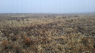
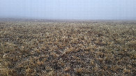
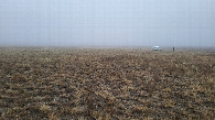
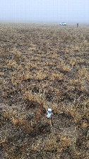
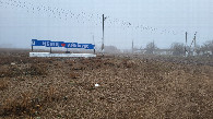
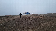
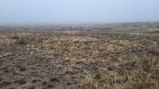 (visited by Valera Parshukov) 09-Ноября-2023 – После посещения 48°N 76°E мы продолжили движение на восток. Иногда шёл мелкий дождь. Суглинистая дорога стала скользской, машину стало таскать. Была опасность съезда с дороги. Одна мысль: разобраться бы с этой точкой до темноты. Наконец, мы доехали до села Айыртас, и я увидел местного жителя на стареньком автомобиле Нива. Туман, необходимость преодоления речки Еспе и наступающие сумерки заставили меня остановить Ниву. Местный житель торопился, но за вознаграждение согласился меня свозить к точке пересечения. Октябрина осталась в нашей машине у реки, а мы на "рабочей лошадке" Ниве успели до наступления темноты прибыть на пересечение и закрыть ещё одно серое пятно в экстремальном, но прекрасном и познавательном проекте "confluence.org"! Пересечение находится в степи с низкорослой травянистой растительностью в Айыртасском сельском округе Актогайского района Карагандинской области. В село Айыртас мы возвратились в наступившей темноте. Путь до асфальта в 148 км по грязной, скользкой глинистой дороге в дождь и ночное время было настоящим испытанием. Через сутки мы были дома. За пять дней путешествия мы проехали 3982 км, открыли 6 конфлюенций и совершили 2 попытки. Данные посещения:
09-Nov-2023 – After visiting 48°N 76°E, we continued moving east. At times, a light drizzle was falling. The loamy road became slippery, and the car started to fishtail. There was a risk of sliding off the road. One thought kept crossing my mind: to get this point sorted out before dark. Finally, we reached the village of Ayirtas, and I saw a local resident in an old Niva car. The fog, the need to cross the Espe River, and the falling twilight forced me to stop the Niva. The local resident was in a hurry, but for a reward, he agreed to drive me to the confluence point. Oktyabrina stayed in our car by the river, while we, on the "workhorse" Niva, managed to arrive at the confluence before dark and clear another blank spot in the extreme, yet beautiful and educational "confluence.org" project! The confluence is located in a steppe with low-growing herbaceous vegetation in the Ayirtas Rural District of the Aktogay District of the Karaganda Region. We returned to the village of Ayirtas in the falling darkness. The 148 km journey back to the asphalt road along a muddy, slippery clay road in the rain and nighttime was a real challenge. A day later, we were home. During the five days of our journey, we covered 3982 km, discovered 6 confluences, and made 2 attempts. Visit data:
|
| All pictures |
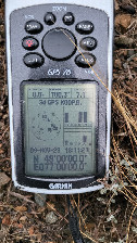
| #1: Восток / East #2: Юг / South #3: Запад / West #4: Север / North #5: GPS reading #6: Место слияния / Confluence spot #7: Село Айыртас / Ayyrtas village #8: Визитёры / Visitord #9: Ферма в 1,4 км от пересечения / The farm in 1.4 km from CP #10: Местный пейзаж / Local landscape ALL: All pictures on one page |