
| { Main | Search | Countries | Information | Member Page } | |
Chile : Tarapacá (visit information) |
6 visited, 9 total. | |
| There are no Plans for this Region. | |
| Region Notes | |
|
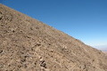
21°S 69°W 10.6 km (6.6 miles) SSE of Guatacondo, Tarapacá, Chile |
|
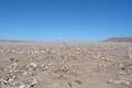
21°S 70°W 33.1 km (20.6 miles) SW of Norte Lagunas, Tarapacá, Chile |
|
21°S 71°W 84.0 km (52.2 miles) WSW of Punta Patache (Cape), Tarapacá, Chile |
|
|
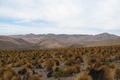
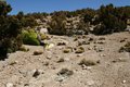
20°S 69°W 5.5 km (3.4 miles) WSW of Cueva Negra, Tarapacá, Chile |
|
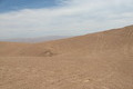
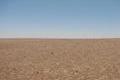
20°S 70°W 21.8 km (13.5 miles) SW of Negreiros, Tarapacá, Chile |
|
20°S 71°W 90.5 km (56.2 miles) W of Punta Paco (Cape), Tarapacá, Chile |
|
|
19°S 69°W 7.7 km (4.8 miles) NE of Pumire Azufreras, Tarapacá, Chile |
|
19°S 70°W 4.1 km (2.5 miles) NNW of Conanoxa, Tarapacá, Chile |
|
19°S 71°W 72.6 km (45.1 miles) WSW of Cabo Lobos (Cape), Tarapacá, Chile |
Region Notes:
In 2006, a reorganization of the Chilean regions was made. The new Región de
Arica y Parinacota was created out of the northern part of the Región de
Tarapacá, and became operative in October 2007. This new regional
organization is not yet reflected on this region page and map. Thus, the
Confluences 19S 70W and 19S 71W now have to be attributed to the new Región
de Arica y Parinacota.