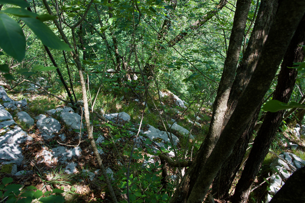
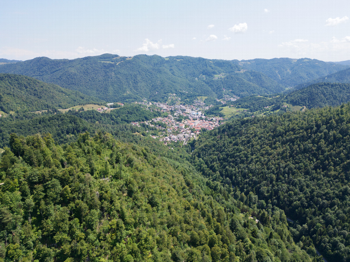
#1: The confluence point lies down this very steep, rocky slope. (This is also a view to the East.)
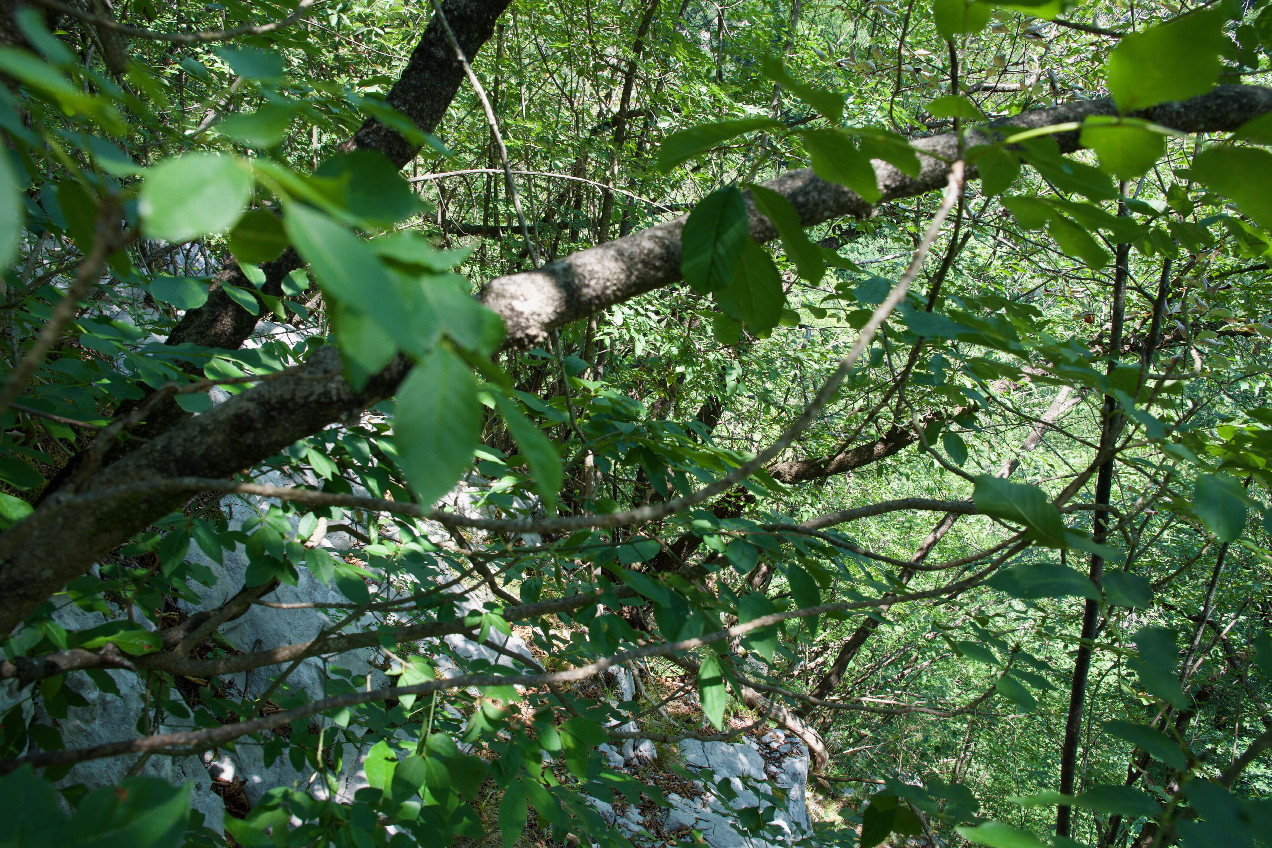
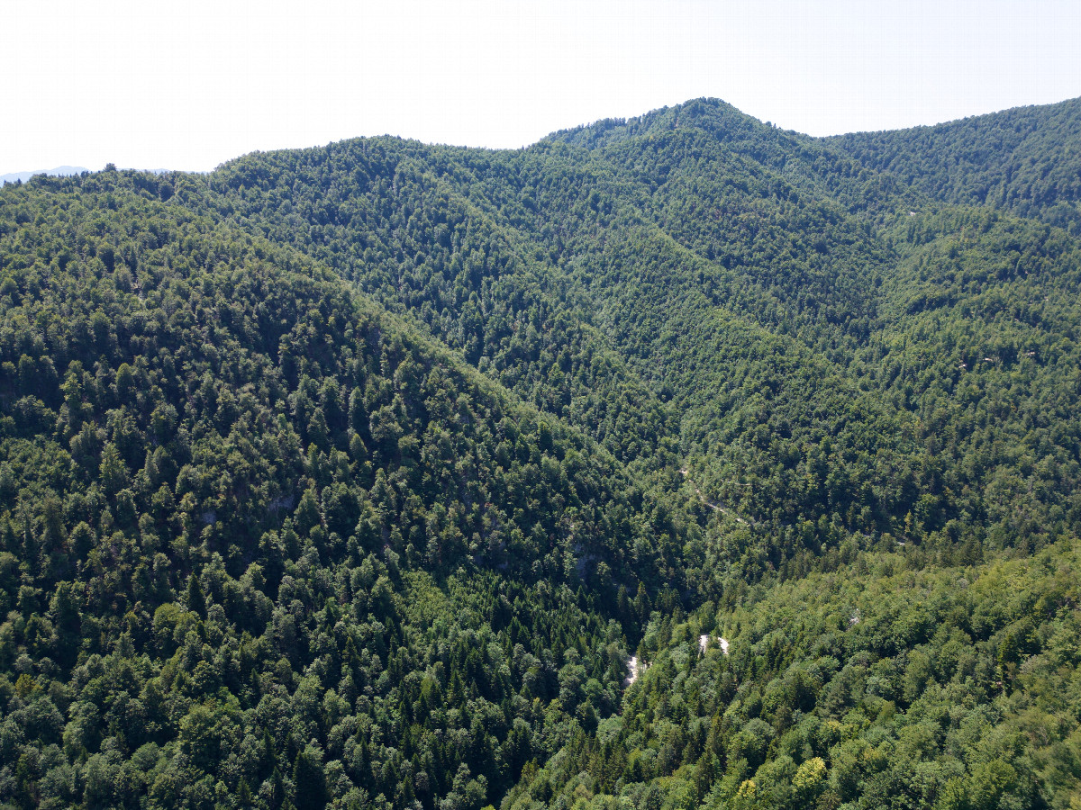
#2: View North
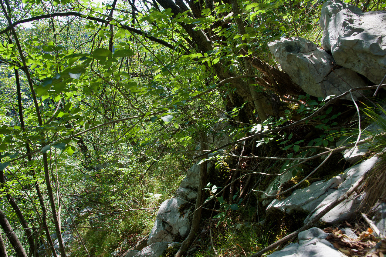
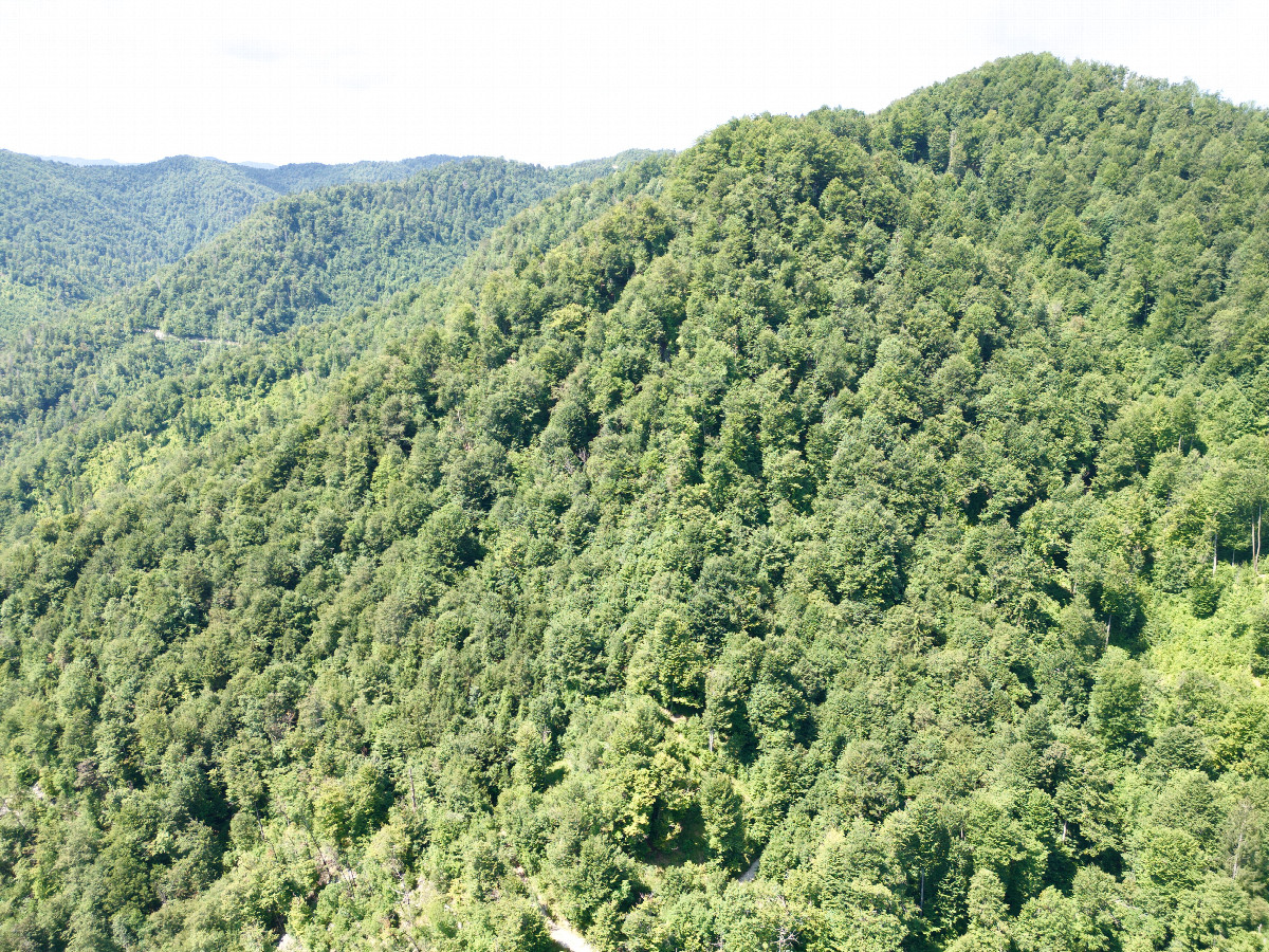
#3: View South
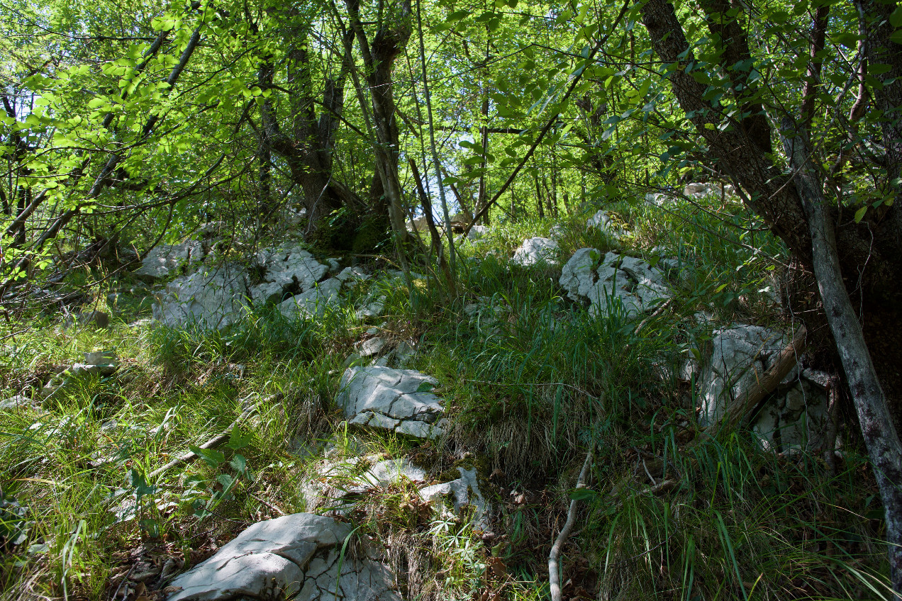
#4: View West (up the slope)
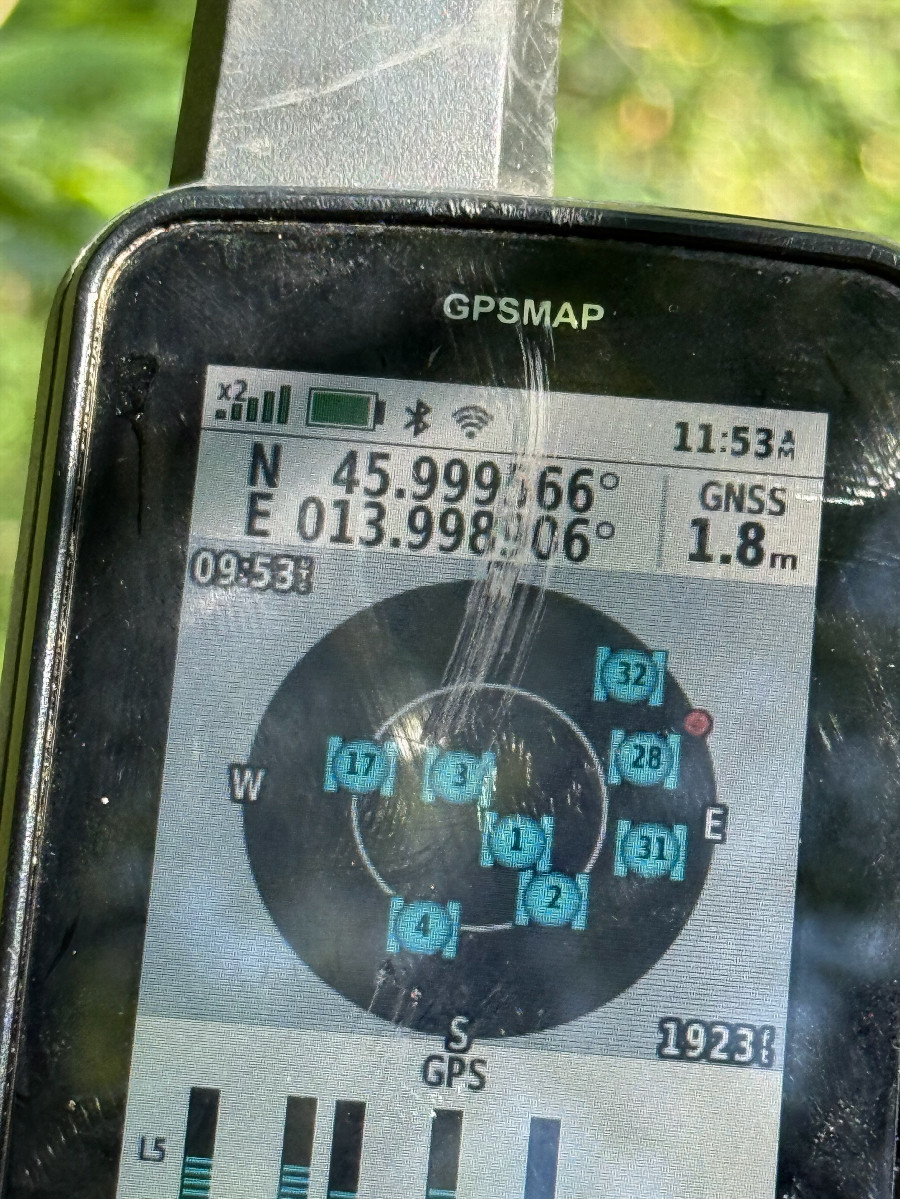
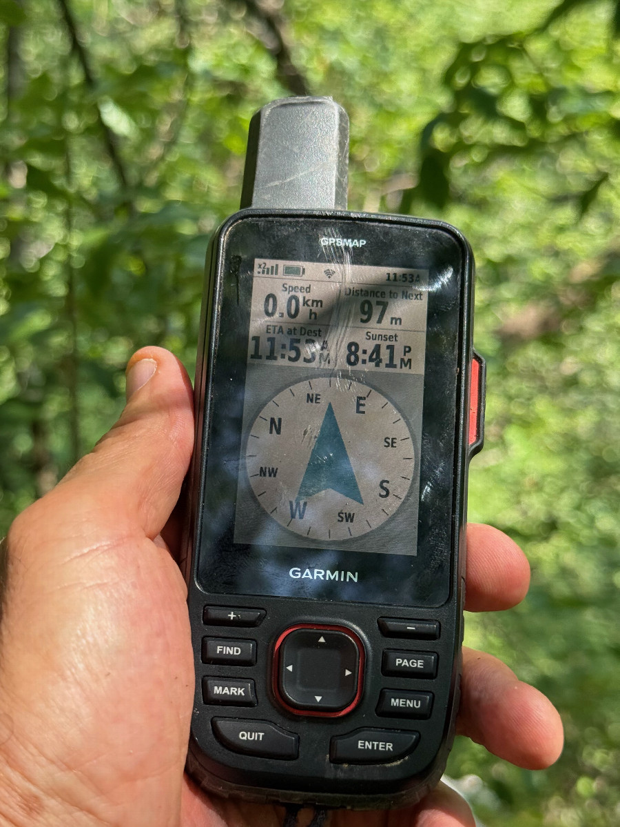
#5: My GPS receiver, 97m from the point (GPS+Galileo+BeiDou)
#6: My GPS receiver, 97m from the point (GPS+Galileo+BeiDou)
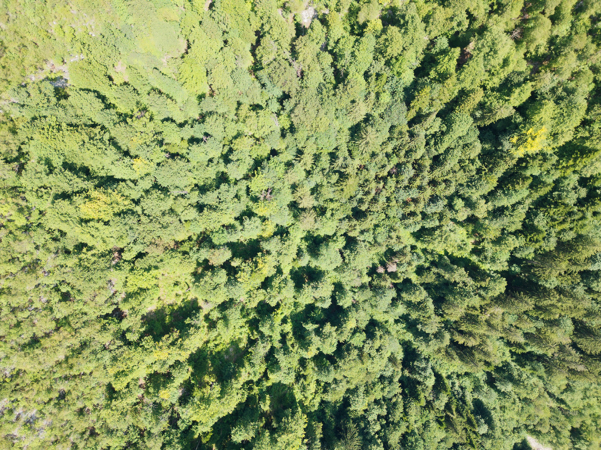
#7: Looking down on the point from a height of 120m
#8: View North, from 120m above the point
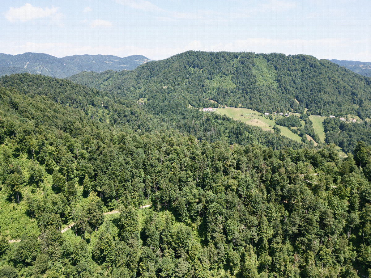
#9: View East (towards the town of Idrija), from 120m above the point
#10: View South, from 120m above the point
#11: View West, from 120m above the point
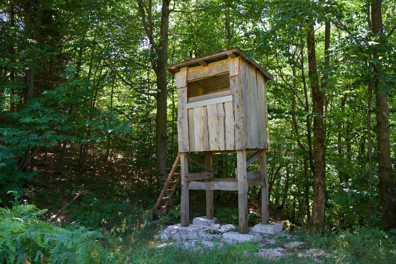
#12: A hunting blind beside the access road, about 450m from the point