|

Philippines
3.0 km (1.9 miles) NNE of Sorsogon, Luzon, Sorsogon, Philippines
Approx. altitude: 80 m
(262 ft)
([?] maps: Google MapQuest OpenStreetMap ConfluenceNavigator)
Antipode: 13°S 56°W
Accuracy: 1.4 km (1475 yd)
Quality: good
Click on any of the images for the full-sized picture.
 of the are where the picture was taken.")

| 13°N 124°E (visit #1) | (incomplete) |
![Visit #4: [06-Mar-15]](/ph/all/n13e124v4/preview.jpg "Visit #4: [06-Mar-15]")
![Visit #3: [18-Jun-03]](/ph/all/n13e124v3/preview.jpg "Visit #3: [18-Jun-03]")
![Visit #2: [01-Sep-02]](/ph/all/n13e124v2/preview.jpg "Visit #2: [01-Sep-02]")

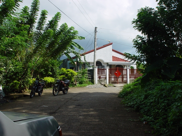
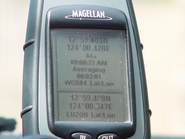
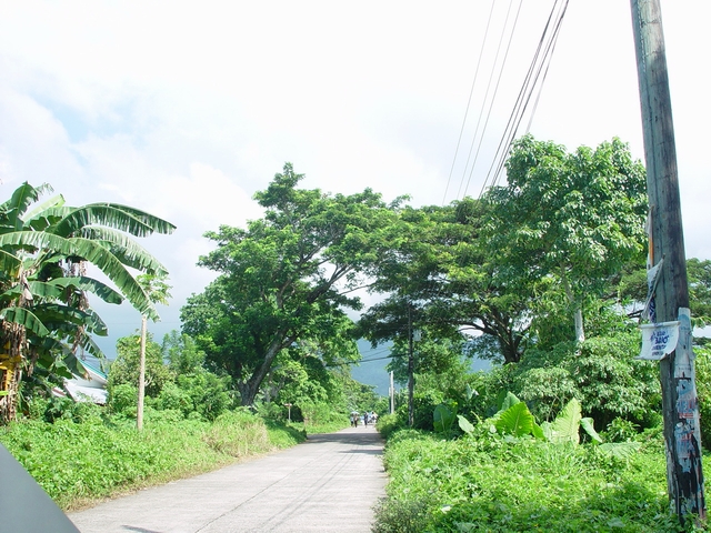
(visited by Raymund Madronero) 25-Aug-2002 -- This is just an initial attempt to visit the confluence point. I just happened to pass by the area and thought of checking the site so preparations can be made for the actual attempt, maybe before the end of September. The confluence point seems to be outside the boundaries of the subdivision moving NNE from where picture #1 is taken. Picture 2 is a picture of gps reading (WGS84). Picture 3 is of the road leading to the subdivision. At the side of it (north) is a cemetery. I forgot to get the name of the barrio but it is within the area of Sorsogon City going into Bacon District. |
| All pictures |
| #1: So far this is the closest I got to the confluence point. #2: Actual GPS reading (WGS84) of the are where the picture was taken. #3: The road leading to the subdivision. ALL: All pictures on one page |