|

Italy : Toscana
1.3 km (0.8 miles) W of L'Aquerino (Prato), Pistoia, Toscana, Italy
Approx. altitude: 1046 m
(3431 ft)
([?] maps: Google MapQuest OpenStreetMap ConfluenceNavigator)
Antipode: 44°S 169°W
Accuracy: 6 m (19 ft)
Quality: good
Click on any of the images for the full-sized picture.


| 44°N 11°E (visit #1) |
![Visit #5: [23-Dec-22]](/it/all/n44e011v5/preview.jpg "Visit #5: [23-Dec-22]")
![Visit #4: [23-Aug-20]](/it/all/n44e011v4/preview.jpg "Visit #4: [23-Aug-20]")
![Visit #3: [19-Oct-19]](/it/all/n44e011v3/preview.jpg "Visit #3: [19-Oct-19]")
![Visit #2: [22-Jul-14]](/it/all/n44e011v2/preview.jpg "Visit #2: [22-Jul-14]")

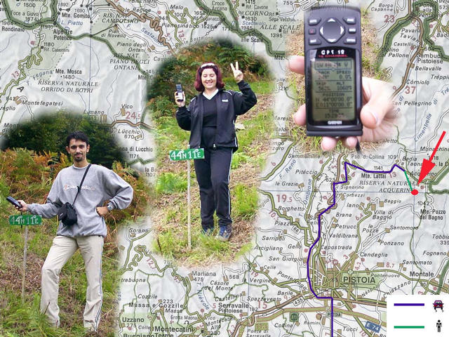
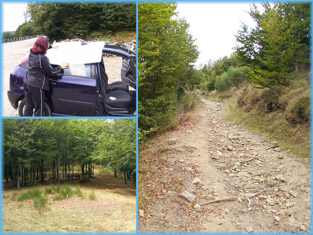
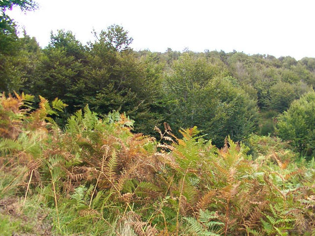
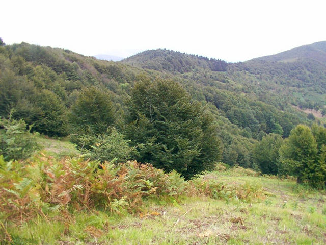
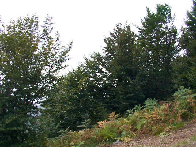
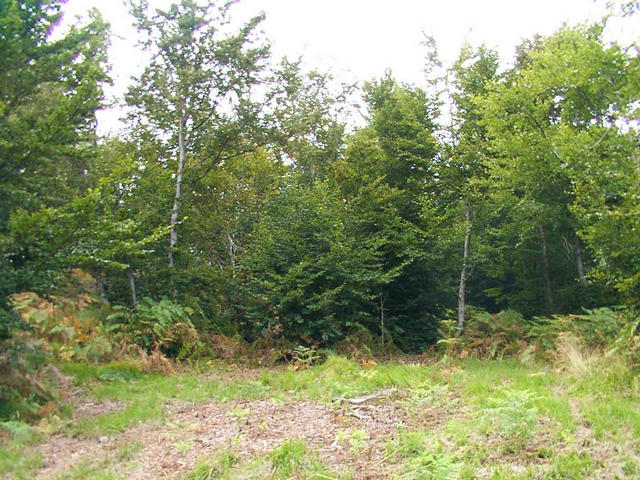
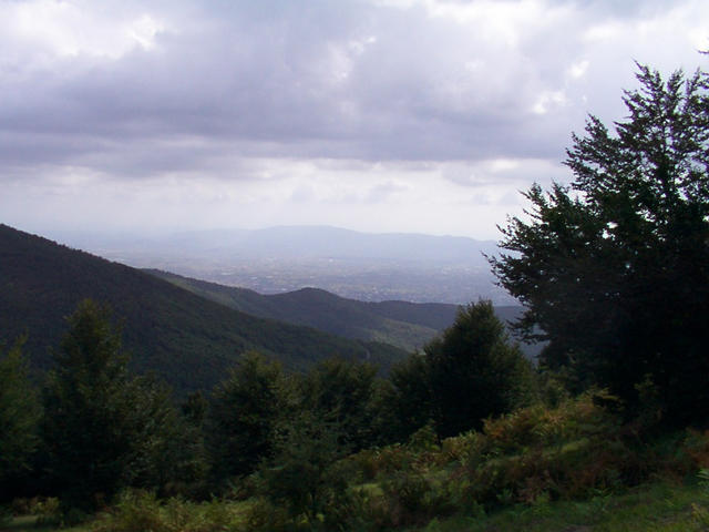
(visited by Luca Bartolini and Serena Baiocchi) 01-Sep-2001 - First attempt (failure): At 5 PM, I and Serena departed from Pistoia in the direction of Acquerino. We tried to reach the spot from north-east, crossing the wood afoot (for about 1 km), but because of the schedule, of the ugly meteorological conditions and the sharp, painful vegetation, we were forced to abdicate. 09-Sep-2001 - Second attempt (successful): In the following days to the first attempt we broadly documented there around the zone: we retrieved some maps of trekking and from them we have succeeded in tracing a path, that from “Badia a Taona” it brought us to around 200 meters from the spot (see photo #2). At 11:30 AM, I and Serena have departed from Pistoia in the direction of Signorino – Badia a Taona. We have parked the car in the pre-arranged point, around 3 kms northwest of the spot, we have made a last check of the maps and we are started along the path there (see photo #3). Later around one hour of walk we have abandoned the path and we are penetrated in the wood following the direction pointed out by the GPS. We were amazed to see that the spot was found in an open space, without trees. We have placed therefore the signal “44°N – 11°E” that I had prepared and we have given a look in the surroundings (see photo #4, #5, #6, #7). There wasn’t any human installation except for an old ruin around 500 meters to the southeast. Still in direction southeast (see photo #8) a vision of the cities: Prato (to the left) and Pistoia (to the right). After this beautiful experience we have been a small picnic in the middle of the nature and have returned home happy and relaxed, ready for other explorations! Thanks to Hans Augdoppler for his collaboration. |
| All pictures |
| #1: 44N-11E #2: The map #3: A last look to the map and we start walk #4: a look to the North #5: a look to the East #6: a look to the South #7: a look to the West #8: a look to the valley: Pistoia and Prato ALL: All pictures on one page |