|

France : Pays de la Loire
3.7 km (2.3 miles) N of Bouin, Vendée, Pays de la Loire, France
Approx. altitude: 0 m
(0 ft)
([?] maps: Google MapQuest OpenStreetMap ConfluenceNavigator)
Antipode: 47°S 178°E
Accuracy: 50 m (164 ft)
Quality: good
Click on any of the images for the full-sized picture.


| 47°N 2°W (visit #1) |
![Visit #7: [02-Jun-26]](/fr/all/n47w002v7/preview.jpg "Visit #7: [02-Jun-26]")
![Visit #6: [12-Feb-23]](/fr/all/n47w002v6/preview.jpg "Visit #6: [12-Feb-23]")
![Visit #5: [23-Dec-17]](/fr/all/n47w002v5/preview.jpg "Visit #5: [23-Dec-17]")
![Visit #4: [24-Jul-14]](/fr/all/n47w002v4/preview.jpg "Visit #4: [24-Jul-14]")
![Visit #3: [21-Nov-10]](/fr/all/n47w002v3/preview.jpg "Visit #3: [21-Nov-10]")
![Visit #2: [01-May-07]](/fr/all/n47w002v2/preview.jpg "Visit #2: [01-May-07]")

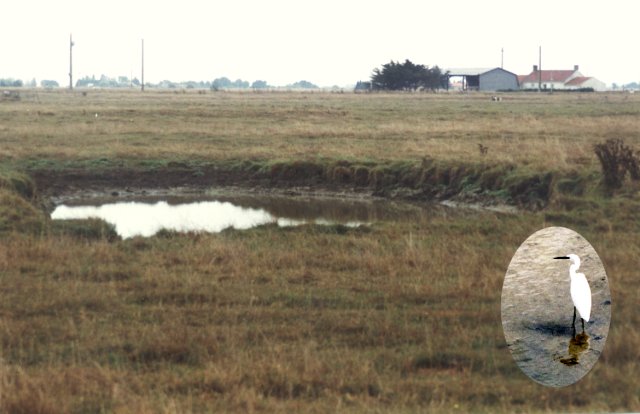
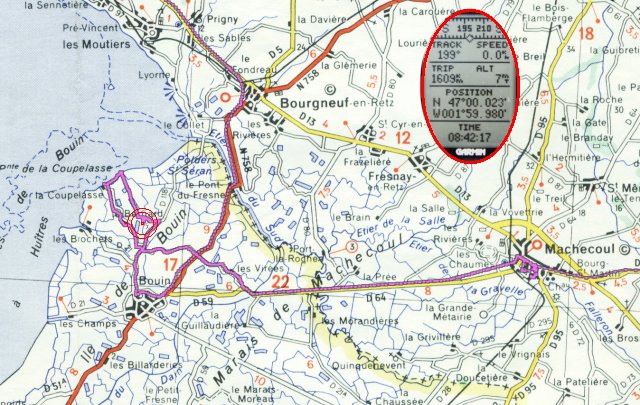
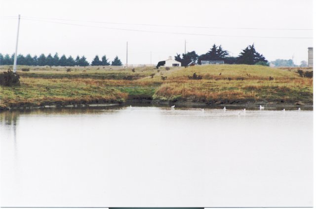
(visited by Henk Pouwels and Inge Pouwels) 03-Sep-2001 -- Looking for Degree Confluence's brings you to places you never thought to go. During our holiday, my wife and I searched for several DCPs in France while visiting the Champagne region, the Loire valley and Bretagne. One of them is 47N02W which is about 30 km (20 miles) south of St Nazaire, where the Loire meets the Atlantic ocean. The area is called Marais (marsh) de Machecoul and is very flat, with a lot of little creeks and ponds which are twice a day filled with water of the ocean. And there are a lot of birds like the small silver heron in photograph #1. Using a Michelin 1:200.000 map and my Garmin GPS12 we navigated our car from our camping in Machecoul to 200 m of the point, the last leg over a dirt road with very sticky clay (see the purple plot in photograph #6). Then we proceeded through a rough meadow which was free of large animals. We were blocked at 50 m of the point by one of those creeks with a very muddy bottom. The DCP is estimated to be in the small pond we can see at the other side of the creek, see photograph #1. The insert of the GPS display in photograph #6 is taken at this position giving evidence of a small error which is only 50m. From this point I took photographs #2 to #5 in the four main directions.
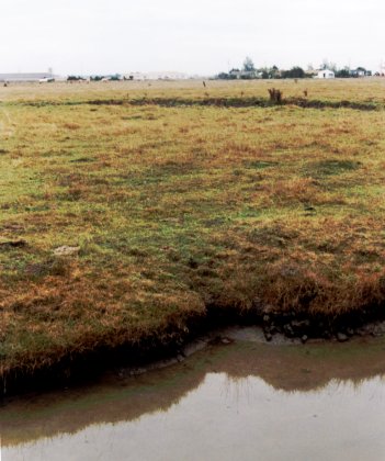
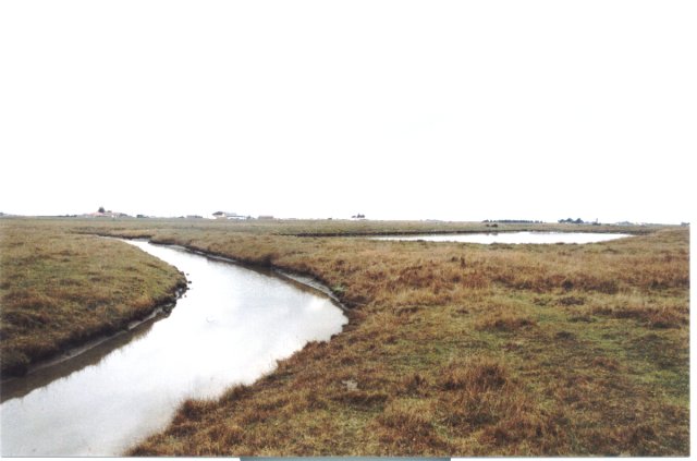
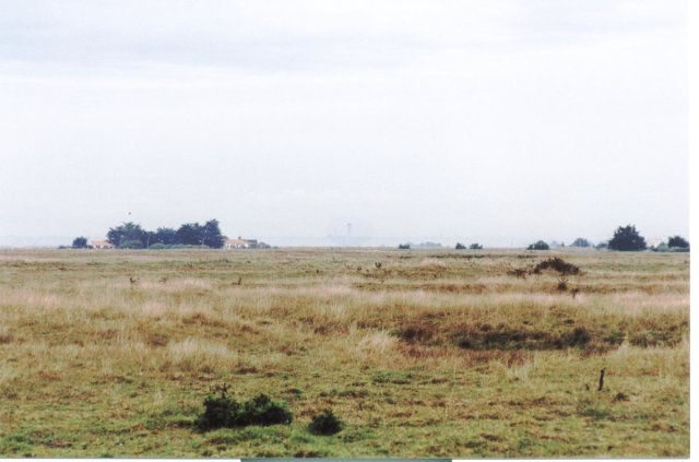
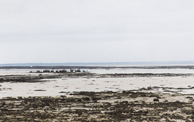
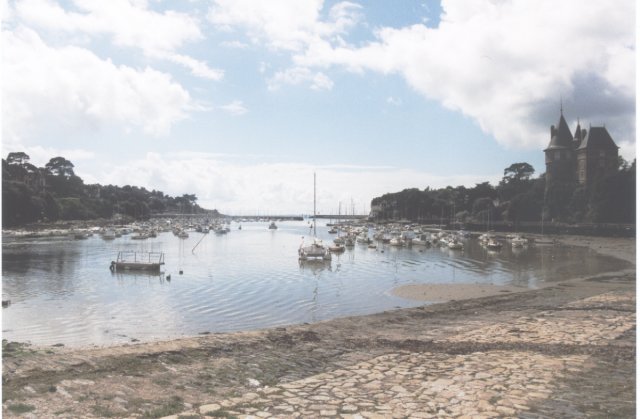
Photograph #4 (S) shows a dark patch in the field which is the small pond of the DCP. In front is the border of the In photograph #2 (N) a tower can be seen faintly, in the center of the horizon. This tower is in the map as a small blue dot, north of the DCP, at the crossroads between the villages Les Moutiers and Prigny. Remark about the map: the thin blue straight lines in the map are latitude / longitude lines according to the French system with 400 degrees in a circle and a longitude reference through Paris. At 2 km distance is the coast, but due to the low tide the water is far, far away. The local oyster farmers drive their tractors in the bay, laboring their oyster cultures as can be seen in photograph #7. About 15 km NW of the DCP is Pornic, a typical harbor (fish and fun) village of this part of France, see photograph #8. And don't forget, this is the region of the Muscadet, the white wine which drinks so well with fish, oysters and other ''fruits de mer''. |
| All pictures |
| #1: DCP in the pond #2: Looking North #3: Looking East #4: Looking South #5: Looking West #6: Map, track and display #7: At the coast #8: Pornic harbor ALL: All pictures on one page |