|

United States : North Dakota
5.1 miles (8.2 km) SW of Velva (McHenry), Ward, ND, USA
Approx. altitude: 529 m
(1735 ft)
([?] maps: Google MapQuest OpenStreetMap topo aerial ConfluenceNavigator)
Antipode: 48°S 79°E
Accuracy: 12 m (39 ft)
Quality: good
Click on any of the images for the full-sized picture.


| 48°N 101°W (visit #1) |
![Visit #3: [20-Sep-17]](/us/nd/n48w101v3/preview.jpg "Visit #3: [20-Sep-17]")
![Visit #2: [25-Sep-05]](/us/nd/n48w101v2/preview.jpg "Visit #2: [25-Sep-05]")
![Visit #4: [16-Oct-25]](/us/nd/n48w101v4/preview.jpg "Visit #4: [16-Oct-25]")

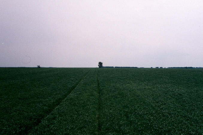
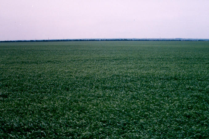
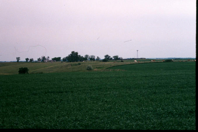
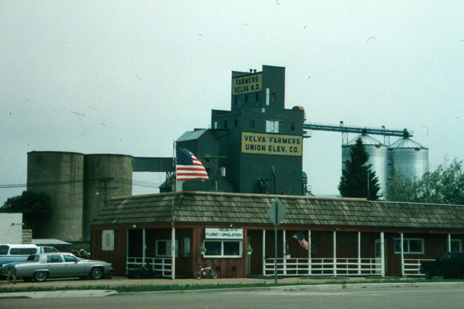
(visited by Curt Christiansen) 15-Jun-2001 -- I was in Minot, N.D. for the wedding of a friend and I had half a day to blow. The groom and the rest of the groomsmen all went to play a round of golf. Not being afflicted with that disease I took the car and headed for the countryside. Using my North Dakota Atlas I took US52 to the southeast and turned south on Ward County 23 to its junction with ND23. From here it was only about 3.5 miles east to a gravel road that lead straight north. At the point where latitude 44N crosses this road I parked the car as far off the road as possible. I was only about a quarter of a mile east of the confluence. I took off heading west into the field. The ground was very wet and muddy and I was considering turning back but there was a set of tractor tracks heading due west that allowed for slightly drier and firmer ground. They led to within 40’ of the confluence and my photo is from there looking south. The wind was blowing fairly strong and it made a strange whooshing sound as it blew through the crops. I retraced my steps to the car, pausing to photograph the view to the northeast. I returned to Minot via Velva, N.D. in which I took the photo of the ever present, in North Dakota, grain elevators. |
| All pictures |
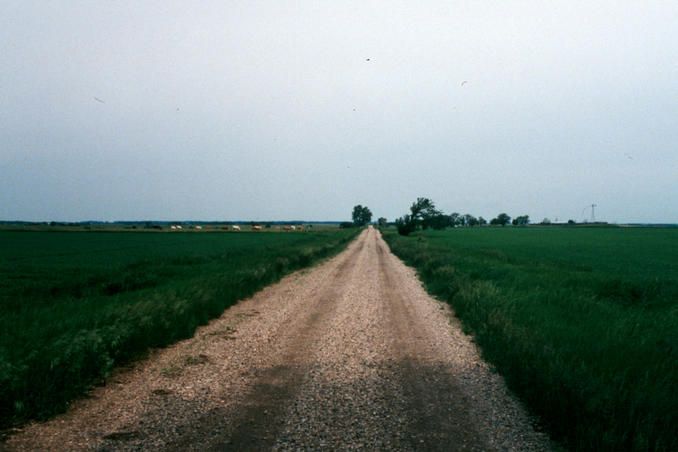
| #1: The confluence from 40 feet away looking south #2: looking back to the east on tracks I followed #3: farmhouse to the northeast #4: section line road leading north from ND23 #5: the grain elevators in nearby Velva, N.D. ALL: All pictures on one page |