|

Canada : British Columbia
15.8 km (9.8 miles) S of Canford, BC, Canada
Approx. altitude: 927 m
(3041 ft)
([?] maps: Google MapQuest OpenStreetMap topo topo250 ConfluenceNavigator)
Antipode: 50°S 59°E
Accuracy: 15 m (49 ft)
Quality: good
Click on any of the images for the full-sized picture.


| 50°N 121°W (visit #2) |
![Visit #3: [03-Aug-12]](/ca/bc/n50w121v3/preview.jpg "Visit #3: [03-Aug-12]")
![Visit #1: [02-Jun-01]](/ca/bc/n50w121/preview.jpg "Visit #1: [02-Jun-01]")
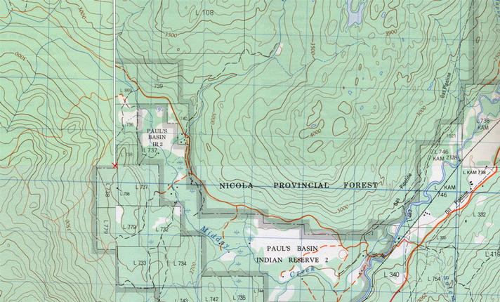
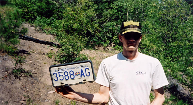
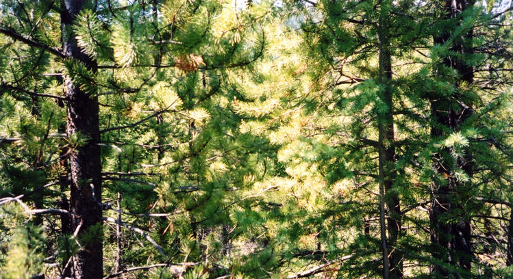
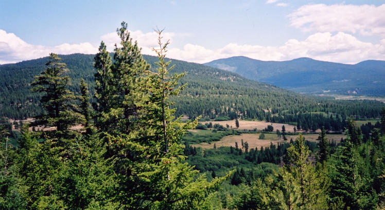
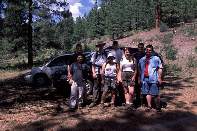
 (visited by Sean Puttergill, Thao Ngo, David Schaub, John Harvey, Jesse Malm, Jeremy Denton, Jin Ng and Andrea Schiel) 14-Jul-2001 -- My first confluence visit began with a drive to Merritt, B.C. My friends and I were camping north of the town at a lake called Lac Le Jeune. Once we reached the town, we turned south along Coldwater Road. We eventually ended up at a gravel road, marked as Patchett Road, heading towards the Paul’s Basin 2 Indian reserve. According to our topo map , a “cart track” split off the gravel road at approximately N 50 00.778, W 120 59.694 which appeared to pass within 400 meters of the confluence. Cart track apparently means “traversable only by 4x4”, so we decided to ditch the cars and head out on foot. The path was easy going, crossing a barbed wire fence (presumably there to keep cattle contained, as this was ranch country), and heading up a hill. Halfway up the hill we came across a license plate in its holder, reaffirming our decision not to take the cars! The path began levelling off as we approached north-south alignment. Finding a break in the trees, we left the path and headed east down the side of the hill. The vegetation in the area was fairly sparse with only light underbrush, so bushwhacking was not too tough. Reaching the bottom of the hill we were within 200 metres of the confluence … we realised that the confluence must be located on the hill to our east. Note to self: 100 foot contour intervals can make hilly terrain look flat! The area between the hills contained a creek and a small marsh which made for some squishy hiking. Heading up the other hill we rapidly closed in on the confluence. The exact spot turned out to be within 20 metres of the top of the hill. The first photo of the confluence is pretty representative of the view from all four compass directions, i.e., a bunch of Lodgepole pines. Much more dramatic is the view from the nearby hilltop. This view shows the farm mentioned in Dave Patton’s previous attempt at reaching the confluence. In retrospect, his plan of heading due west from the gravel road would have come up the steep side of the hill. We had a picnic lunch on the hilltop, enjoying the cool breeze, which was a welcome relief from the hot sun. Heading back from the confluence we decided to investigate a game trail we had crossed on our way up the hill. It turned out that the trail opened up into a full-fledged path that extended due north, the exact bearing back to our cars according to our GPS waypoint! The path eventually rejoined the cart track that we began the hike on (at N 50 00.376, W 120 59.944). Anyone visiting the confluence in the future would best take this path. Back at the cars we snapped a group shot and then drove back to the campground in time for a nice dip in the lake. |
| All pictures |
| #1: Panoramic view from hilltop near confluence #2: GPS receivers #3: Actual view at confluence point #4: A cart track casualty #5: View from hilltop looking north #6: Group photo #7: Topographic map of area ALL: All pictures on one page |