|

Norway : Hedmark
12.9 km (8.0 miles) N of Brumunddal, Hedmark, Norway
Approx. altitude: 539 m
(1768 ft)
([?] maps: Google MapQuest OpenStreetMap ConfluenceNavigator)
Antipode: 61°S 169°W
Quality: good
Click on any of the images for the full-sized picture.
![]()


| 61°N 11°E (visit #1) | (secondary) |
![Visit #4: [05-Jun-16]](/no/all/n61e011v4/preview.jpg "Visit #4: [05-Jun-16]")
![Visit #3: [26-Mar-12]](/no/all/n61e011v3/preview.jpg "Visit #3: [26-Mar-12]")
![Visit #2: [21-Jul-09]](/no/all/n61e011v2/preview.jpg "Visit #2: [21-Jul-09]")
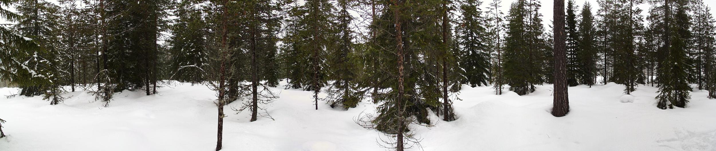
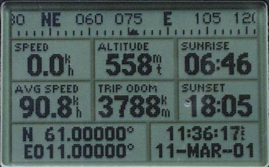
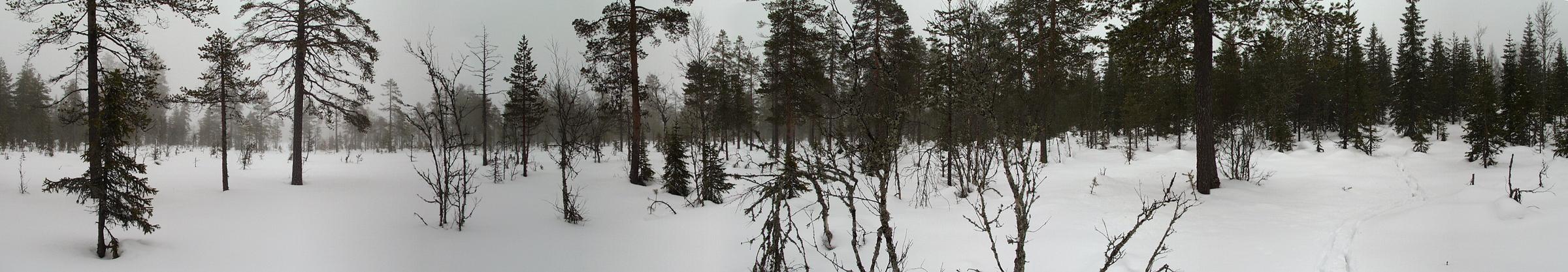
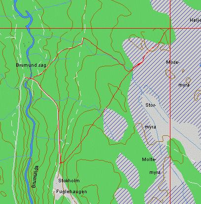
 (visited by Terje Mathisen) 11-Mar-2001 -- This weekend we needed to make a trip to a family cabin near Lillehammer, where the 1994 Winter Olympic Games were held. E6, the main highway from Oslo to Lillehammer passes by Skedsmokorset, which is quite close to another confluence: 60N 11E. Further north it reaches Brumunddal, where this confluence lies. I had previously studied the maps, and decided that the Brumund Saw Mill would be a good starting point for a confluence attempt, so we drove up there and parked about a km above the mill (pic #3). The first part of the trip was extremely tough, due to deep snow that had been thoroughly saturated by the rains of the last week. This had caused the snow to lose almost all its internal structure, becoming what we here in Norway call 'råtten' (i.e. rotten), so the skis could easily sink through it almost to the ground, while still being so heavy that it is very hard to lift them back up. Regular snowshoes would have been really bad. Using the most suitable gear for the conditions (wide mountain touring skis, and poles with wide baskets), it still took me 50 minutes to negotiate the barely 2.5km to the actual point, i.e. 20 minutes per km, compared to about 4 min/km in an established cross country trail. Once I got there I quickly made a panoramic image of the area (pic #2), but since the point is located inside a little thicket, you can't see much. :-( After getting the obligatory shot of the GPS (pic #4), I therefore made another panorama (pic #1) about 50m away, out on the marsh (Høljemyra) which dominates the area. On the way back I decided to take a chance on an old snowmobile trail I had crossed about 750m before the confluence, and this trail turned out to lead down to a logging road, which naturally led straight down to the sawmill! This reduced the time for the return trip to just 20 minutes, anyone who wants to make a repeat visit would do well to use this route, even if it entails more ascent on the way up. See (pic #5) for an OziExplorer track log which clearly shows the route I followed! |
| All pictures |
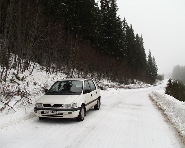
| #1: Panorama from marsh close to confluence #2: Panorama from the confluence #3: Parking near the saw mill #4: GPS showing a perfect location #5: Map with OziExplorer track ALL: All pictures on one page |