|


Iceland
7.4 km (4.6 miles) S of Hvaleyri, Hafnarfjörður, Iceland
Approx. altitude: 121 m
(396 ft)
([?] maps: Google MapQuest OpenStreetMap ConfluenceNavigator)
Antipode: 64°S 158°E
Quality:
Click on any of the images for the full-sized picture.
| 64°N 22°W (visit #9) |
![Visit #8: [05-Sep-23]](/is/all/n64w022v8/preview.jpg "Visit #8: [05-Sep-23]")
![Visit #7: [29-Jul-18]](/is/all/n64w022v7/preview.jpg "Visit #7: [29-Jul-18]")
![Visit #6: [20-Sep-12]](/is/all/n64w022v6/preview.jpg "Visit #6: [20-Sep-12]")
![Visit #5: [06-May-12]](/is/all/n64w022v5/preview.jpg "Visit #5: [06-May-12]")
![Visit #4: [24-Oct-11]](/is/all/n64w022v4/preview.jpg "Visit #4: [24-Oct-11]")
![Visit #3: [31-May-04]](/is/all/n64w022v3/preview.jpg "Visit #3: [31-May-04]")
![Visit #1: [11-Aug-01]](/is/all/n64w022/preview.jpg "Visit #1: [11-Aug-01]")
![Visit #2: [29-Mar-03]](/is/all/n64w022v2/preview.jpg "Visit #2: [29-Mar-03]")
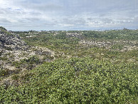
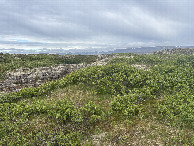
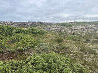
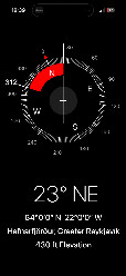
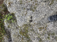
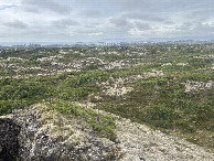
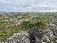
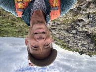
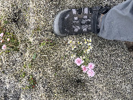
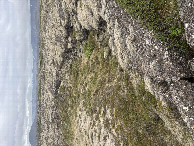
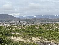
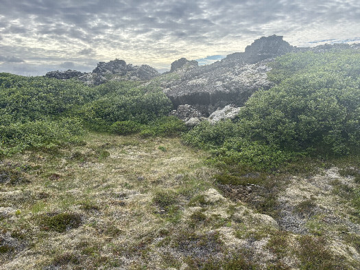 (visited by Peter Cao) 25-Jun-2026 -- My wife and I were in Iceland for her birthday trip and after visiting two hot spring lagoons already (Secret Lagoon and Sky Lagoon), I tapped out when she said she wanted to visit a third, the Blue Lagoon near the Reykjavik airport. This confluence was the closest one, so I dropped her off for a afternoon of soaking and pampering. From the Blue Lagoon, it is a 30-minute drive to a point bee-line 2,670 meters from the CP. The area is a huge old lava field covered with thick moss and at this time of year tiny little flowers. Daylight was not going to be problem as the sun sets after midnight and rises a few hours later at 3 AM. The route was deceptively straight forward, but not easy. The moss was about 10 cm thick and spongy. Walking required about the same effort as soft sand and about the same speed. It took me about an hour to walk to the CP. Named: Spongy Lava Field |
| All pictures |
| #1: Looking West #2: Looking North #3: Looking East #4: Looking South #5: GPS #6: Boots on the ground #7: Lava Terrain #8: Lava Terrain #9: Yours truly #10: Tiny flowers #11: Lava Terrain #12: dead reckoning to the car ALL: All pictures on one page |