|


Kazakhstan : Qaraghandy
14.8 km (9.2 miles) N of Kirovo, Qaraghandy, Kazakhstan
Approx. altitude: 524 m
(1719 ft)
([?] maps: Google MapQuest OpenStreetMap ConfluenceNavigator)
Antipode: 49°S 108°W
Accuracy: 10 m (32 ft)
Quality: good
Click on any of the images for the full-sized picture.

| 49°N 72°E |
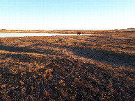
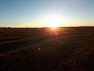
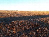
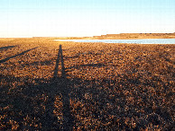
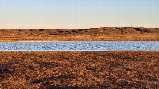 (visited by Valera Parshukov and Oktiabrina Parshukova) 07-Ноября-2023 – После успешного посещения 49°N 71°E мы продолжили движение в обратном направлении до села Жанаарка и далее до села Интумак. За этим селом асфальт сменился на полевую дорогу, по которой мы доехали до водоёма с дамбой. Проехать по дамбе не получилось, и нам пришлось объехать заболоченную кочковатую низину. Подъезжая к пересечению мы увидели впереди водоём, и одна только мысль возникала "только бы не в воде". Ура, повезло! Пересечение находится в низиной части степи с мелкосопочным рельефом в восточной части Жанааркинского района Улытауской области. Далее 49°N 73°E. Данные посещения:
07-Nov-2023 – After the successful visit to 49°N 71°E, we continued moving in the reverse direction to the village of Zhanaarka and further to the village of Intumak. Beyond this village, the asphalt changed to a field road, along which we drove to a reservoir with a dam. We couldn't cross the dam, so we had to bypass a marshy, bumpy lowland. Approaching the confluence, we saw a body of water ahead, and only one thought came to mind: "just hope it's not in the water." Hooray, we got lucky! The confluence is located in a lowland part of the steppe with a hilly landscape in the eastern part of the Zhanaarka District of the Ulytau Region. Next is 49°N 73°E. Visit data:
|
| All pictures |
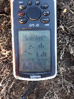
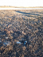
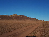
| #1: Юго-восток / South-East #2: Юг / South #3: Запад / West #4: Север / North #5: Восток / East #6: GPS reading #7: Место слияния / Confluence spot #8: За селом Интумак / Behind Intumak settlement #9: Визитеры / Visitors ALL: All pictures on one page |