|


Greenland : Vestgrønland/Kitaa
3.4 km (2.1 miles) WNW of Camp Lloyd, Vestgrønland, Greenland
Approx. altitude: 337 m
(1105 ft)
([?] maps: Google MapQuest OpenStreetMap ConfluenceNavigator)
Antipode: 67°S 129°E
Accuracy: 3 m (9 ft)
Quality:
Click on any of the images for the full-sized picture.
| 67°N 51°W (visit #5) | (secondary) |
![Visit #4: [30-Jun-13]](/gl/all/n67w051v4/preview.jpg "Visit #4: [30-Jun-13]")
![Visit #3: [06-Jul-11]](/gl/all/n67w051v3/preview.jpg "Visit #3: [06-Jul-11]")
![Visit #2: [08-Jul-06]](/gl/all/n67w051v2/preview.jpg "Visit #2: [08-Jul-06]")
![Visit #1: [01-Aug-02]](/gl/all/n67w051/preview.jpg "Visit #1: [01-Aug-02]")
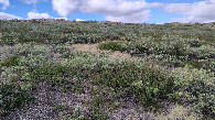
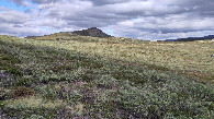
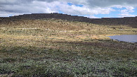
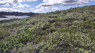
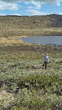
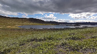
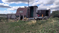
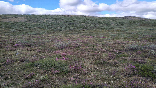 (visited by Thomas Barthel) 18-Jun-2026 -- During our holidays on Greenland, for hiking the “Arctic Circle Trail” from Kangerlussuaq to Sisimiut, I had the chance to visit three confluence points. The first visit took place at the CP 67° N 51° W, located around 13 km west of Kangerlussuaq. We started our hike, which was planned to last ten days, at the Hotel “Kangerlussuaq”, located directly next to the airport. The first 12 km of the trail, leading to the harbour, are not too exiting. It is a mostly paved road, which follows a glacial river. After further four kilometres, on which we passed abandoned science station for upper atmospheric research “Sondrestrom”, we reached the official start of the Arctic Circle Trail, short “ACT”. From there it is a distance of only two kilometres to the CP. The trail passes a small lake at it’s northern shore. Arrived there we placed our backpacks and walked the last 160 m cross-country, direction north. The area of the confluence point 67° N 51° W is easy to reach, located on a slope and is slightly overgrown. Being there you have a wonderful view to the small lake and the bigger one next to it, named “Hundesø”. My wife walked further up and took the picture of the happy visitor. On our further way on the trail, nearly between the two lakes, stands an abandoned hut, which basically was set up by placing a caravan. So already the first day of our hike had included the visit of a confluence point – what a nice start! After this visit the story continued at the CP 67° N 52° W. |
| All pictures |
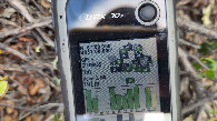
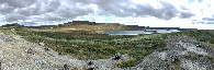
| #1: location of CP 67N-51W 100 m from south #2: view to the north #3: view to the east #4: view to the south #5: view to the west #6: GNSS reading at 67N-51W #7: happy CP-visitor #8: panorama from the top to the south #9: view to the two lakes #10: abandoned hut SW of the CP ALL: All pictures on one page |