|

United States : Washington
4.4 miles (7.1 km) NNE of Chesaw, Okanogan, WA, USA
Approx. altitude: 1013 m
(3323 ft)
([?] maps: Google MapQuest OpenStreetMap topo aerial ConfluenceNavigator)
Antipode: 49°S 61°E
Accuracy: 20 m (65 ft)
Quality: good
Click on any of the images for the full-sized picture.


| 49°N 119°W (visit #2) | (secondary) |
![Visit #4: [25-May-16]](/us/wa/n49w119v4/preview.jpg "Visit #4: [25-May-16]")
![Visit #3: [31-Jul-02]](/us/wa/n49w119v3/preview.jpg "Visit #3: [31-Jul-02]")
![Visit #1: [04-Jul-01]](/us/wa/n49w119/preview.jpg "Visit #1: [04-Jul-01]")

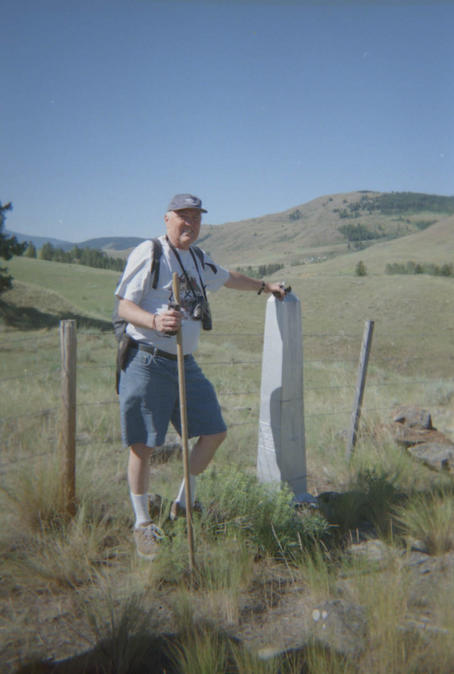
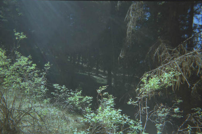
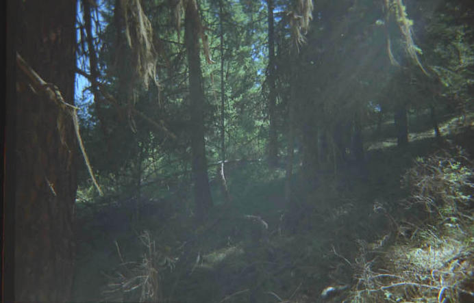
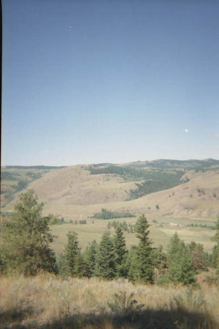
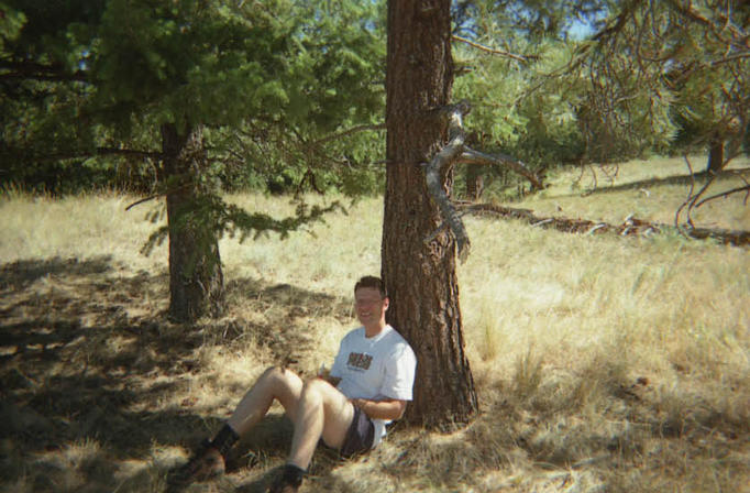
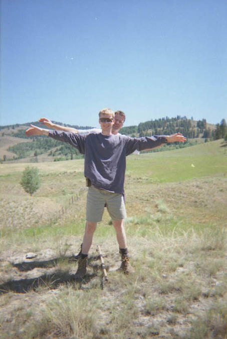
(visited by Matt Rektor, Bob Dooley and Gary Koop) 25-Jul-2001 -- Our voyage started on July 24 with a visit to the local general store in Rock Creek to find some information about the local roads. We had just completed a scouting drive along the Rock Creek/Bridesville road which we thought would take us to within a few kilometers of the confluence. It turned out that this road was the correct one, but that we needed to turn east onto some land marked with no trespassing signs in order to gain the closest approach. We opted to return to Rock Creek and ask for some information. We cited the names on a mailbox we had passed to the local store clerk, and she promptly told us that the land we wanted access to belonged to her uncle Bill. Jackpot. She volunteered to telephone her uncle to ask him if he would agree to allow us on his land to complete the project. We contacted her later that evening from our campground and she said that he had agreed. Armed with uncle Bill's permission, and two GPS units we scheduled our visit for the morning of July 25. We began our journey with a drive through (uncle) Bill Harpur's beautiful ranch. We stopped at the house on our way to let him know in person of our intentions. He was understandably curious, and he had not previously heard of the project. He was more than happy to allow us to carry on our way. We parked the truck right at the Canada-U.S. border at the edge of Bill Harpur's land. From this point we had only to walk along the border 1.7 km to achieve our goal. We were all a little surprised to see that the border was marked by a barbed wire fence in this region. We had expected there to be nothing to separate the two countries. At any rate we walked across a field, then a small stream then began a climb of about 250 meters to our final destination. Along the way we passed one border marker. At first we thought we may be lucky enough to have the confluence at the top of the hill, but alas it turned out that the confluence spot was in the middle of the forest. Hence the four compass direction photos do not show much more than trees. Two of the directions are pictured in picture 1 (south) and picture 2 (east). We also hiked up to the top of a nearby hill to observe the great view of the surrounding countryside. This view can be seen in picture 3. One of us was a bit tired from the climb as can be seen in picture 4. On the journey home, we coudn't resist getting a picture with one foot on each side of 'the line'. Only thing is, according to our GPS units the actual fence was inside the Canadian border by about 20 meters. |
| All pictures |
| #1: Looking south from the confluence #2: Looking east from the confluence #3: The view from the top #4: A short reprieve from the elements #5: Border marker #6: On the line... ALL: All pictures on one page |
| Notes |
|
The borderline with Canada is passing 25 ft north of the Confluence. |