|

Turkey
2.6 km (1.6 miles) SSE of Sultanköy, Tekirdağ, Turkey
Approx. altitude: 0 m
(0 ft)
([?] maps: Google MapQuest OpenStreetMap ConfluenceNavigator)
Antipode: 41°S 152°W
Accuracy: 10 m (32 ft)
Quality: good
Click on any of the images for the full-sized picture.


| 41°N 28°E |

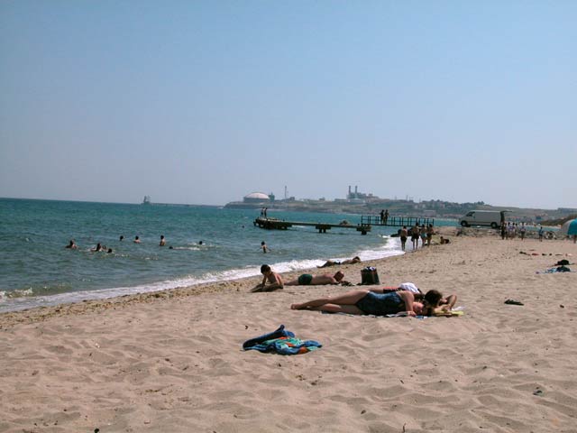
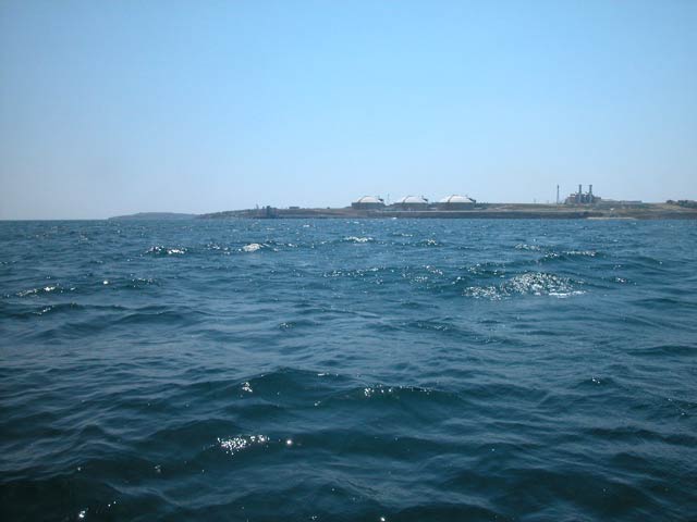
(visited by Ali Taşkıran and Saynur Taşkıran) 23-Jun-2002 -- We undertook a 100 km motorcycle drive from home to a shore, which was the access to our destination. It was a small beach. As a first impression I thought that we would not be able to achieve our mission. The Confluence is in the zone of a natural gas plant. And there were no rental boats around. My wife and me parked our bike beside the fishermen's place and began to chat. Step by step we got to the point of mission. The time was 3:30 pm and the fishermen were beginning to drink Rakı (local Turkish spirit) and beer. At last, one of them accepted to take us to the point. He said: 'Just tell me the direction, I will'. The Confluence is 2.5 km away from the shore. The sea was very wavy and windy. And the boat was small and the old engine noisy. At the confluence point I took my camera out of the case. It was impossible to stand on the boat and the seawater was everywhere. I took the pictures as quickly as I could. In the pictures you can see the results. Next time we decided to visit a point where we can sit and have a cup of coffee. |
| All pictures |
| #1: Confluence 41°N 28°E, 2.5km from the seaside #2: Small village beach close to Confluence #3: GPS reading #4: Saynur with GPS #5: Ali & Saynur on the boat #6: General view and our captain ALL: All pictures on one page |
| Notes |
|
In the water, about 3km from shore |