|

Brazil : Rio Grande do Norte
25.2 km (15.6 miles) SW of Atol das Rocas (Island), Rio Grande do Norte, Brazil
Approx. altitude: 0 m
(0 ft)
([?] maps: Google MapQuest OpenStreetMap ConfluenceNavigator)
Antipode: 4°N 146°E
Accuracy: 25 m (82 ft)
Quality: good
Click on any of the images for the full-sized picture.


| 4°S 34°W |

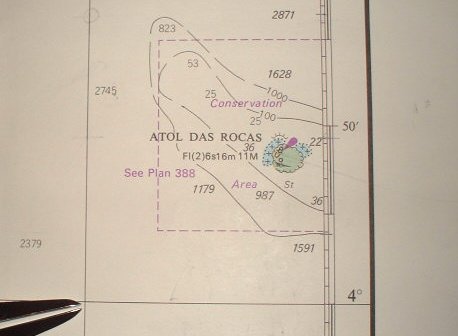
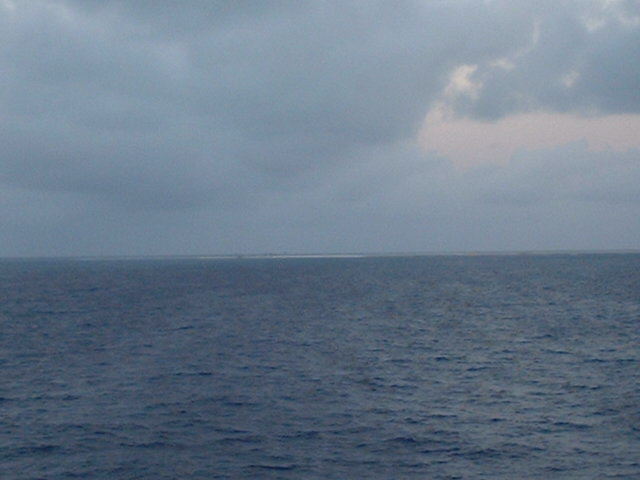
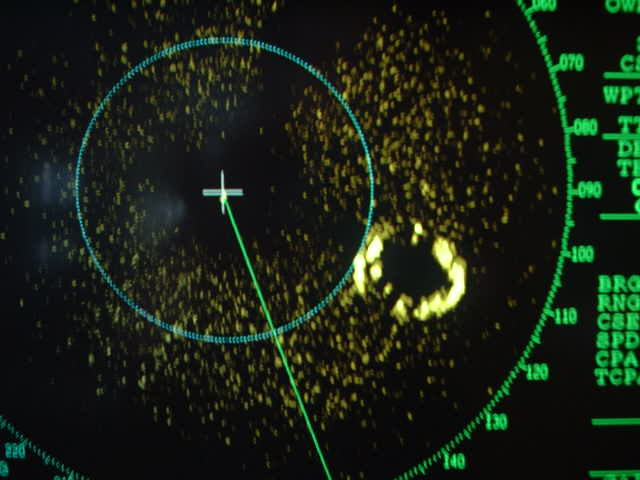
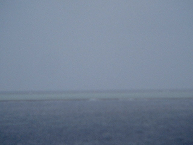
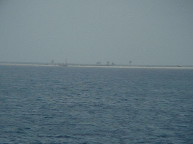
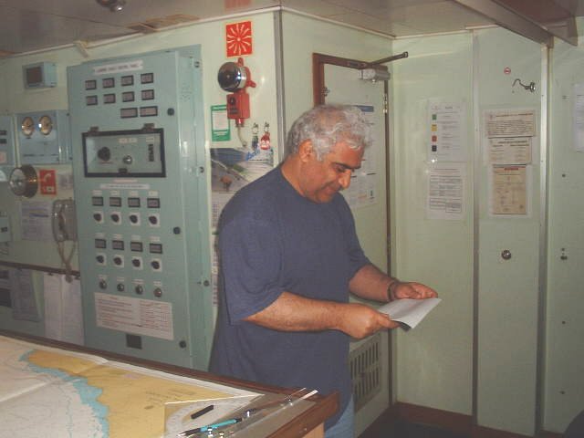
(visited by Captain Peter and Dimitriy Peysakhov) 02-Sep-2002 -- Twelve hours before arriving at Natal we had the chance to visit this confluence near the tiny Atol das Rocas. Atol das Rocas is a dangerous coral atoll. It consists of circular coral reef, which can be best seen in the radar. Its greatest width is of 3.2 km. Within the reef, in the lagoon, is an area of sand and shingle with shallow pools. Numerous detached rocks lie around the atoll. A light is situated on Atol das Rocas. Two ruined buildings and some palm trees are visible as well. A conservation area has been established which encloses Atol das Rocas and the bank on which it stands. Overflying, anchoring, disembarking, landing, diving, hunting, fishing and any other action which might affect the environment are prohibited within the whole area. After having taken some pictures from close the atoll we proceeded to the confluence. Although this is not my first Brazilian confluence, I would like to write down here a few notes about the history of Brazil: The first European to land on the shores of Brazil was Pedro Álvarez Cabral, a Portuguese who sailed into Porto Seguro an 25th April 1500. The coast, in the vicinity of Cabo Santo Agostinho, had first been sighted in January of that year by Pinzon, a companion of Columbus, but he had sailed on without landing. After various expeditions by the English, French and Spanish, a thirty-year struggle for possession of the country began between the Dutch and the Portuguese in 1624. The Dutch had held several settlements between Cabo de São Roque (just South of Atol das Rocas) and Aracaju, but they were finally expelled from the country in 1654. The Portuguese Royal family fled to Brazil in 1807, as a result of the invasion of Portugal by the French and in 1815 Brazil became a kingdom. They remained there until 1821 when the king returned to Portugal, leaving his son Dom Pedro in Brazil as Viceroy. The Brazilians, however, by this time, had acquired the desire for independence, which was also prevalent in the Spanish colonies of South America. They seceded from Portugal in 1822 and persuaded Dom Pedro to accept the title of Emperor of Brazil. The Brazilian Empire lasted until 1889 and was a period of social and economic progress. Both Dom Pedro and his son introduced many reforms, one of which, the abolition of slavery, turned the large landowners against Dom Pedro II and brought about the overthrow of the monarchy. Since 1889 Brazil has been a republic. Rio Amazonas, with its great tributaries traverses the country in the North from the Andes to the Atlantic ocean. It forms the greatest river system in the world and provides more than 13,000 nautical miles (more than 24,000 km) of navigable channels!!! The entire area is so flat that from the Andes to the Ocean it does not fall more than 76 metres. Brazil is unique in that it is the only part of the world where there are large tracts of country virtually untouched by men. There are more than 20,000 species of trees, many are not found anywhere else in the world. The rivers teem with fish and reptiles. Last but not least it is high time to introduce my actual confluence companion, Chief Officer Dimitriy from Saint Petersburg. Here he is reading an incoming email from Natal regarding the cargo to be loaded tomorrow. |
| All pictures |
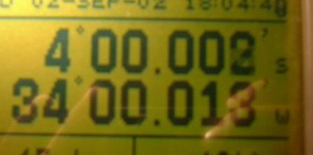
| #1: Atol das Rocas seen from the Confluence #2: Map #3: The circular shape of the atoll in the radar #4: An attempt to make a picture from the lagoon #5: Lighthouse on Atol das Rocas #6: GPS #7: Chief Officer Dimitriy from Saint Petersburg ALL: All pictures on one page |
| Notes |
|
In the ocean, with a tiny view of land. |