|

Norway : Telemark
11.3 km (7.0 miles) SSW of Drangedal, Telemark, Norway
Approx. altitude: 286 m
(938 ft)
([?] maps: Google MapQuest OpenStreetMap ConfluenceNavigator)
Antipode: 59°S 171°W
Accuracy: 5 m (16 ft)
Quality: good
Click on any of the images for the full-sized picture.
![]()
![]()


")
| 59°N 9°E (visit #2) |
![Visit #4: [19-Jul-23]](/no/all/n59e009v4/preview.jpg "Visit #4: [19-Jul-23]")
![Visit #3: [13-Jun-07]](/no/all/n59e009v3/preview.jpg "Visit #3: [13-Jun-07]")
![Visit #1: [15-Jun-01]](/no/all/n59e009/preview.jpg "Visit #1: [15-Jun-01]")
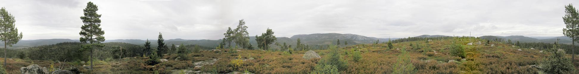
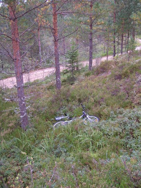
 (visited by Terje Mathisen) 07-Sep-2002 -- The first visitors to this point, the two sons of a coworker, reported that they had spent a long time (5+ hours) getting to the point and back. Since I'm interested in orienteering I always study the best maps I can find before going on a confluence hunt, and in this case I found something that looked like a much better way to the point: I started from Drangedal center, and drove about 11 km SSW along a narrow dirt road, past a few quite scary points, where the road is cut into the cliffside, until I got to a gate about 3.3 km WNW of the point. There I had to reverse for about 200 m, to a junction where there was room to park alongside the road without blocking it. Since I came well-prepared, I had my daughter's small, fully suspended, 5-speed bike in the trunk. Using this I passed the gate (here in Norway a gate like this just means that you can't drive a motorized vehicle past it, passing it on foot or bike is OK!) and went slightly uphill for about 2.5 km. At this point I had to leave the road, so I hid the bike in some bracken (probably not needed, I didn't see anyone on the trip), and ran the remaining 850 m to the point. On the way there I visited the highest nearby point, a hill about 150-200 m west of the confluence, which offered a very nice view of the area. At the point itself I took a set of photos, before returning to the bike and then the car. Total time: About 52 minutes. |
| All pictures |
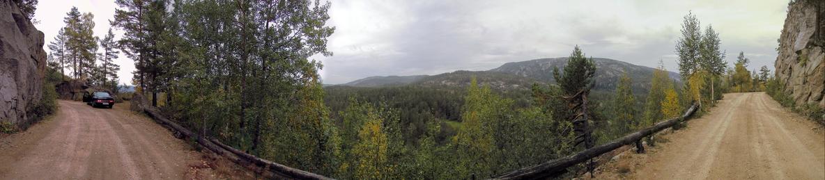
| #1: Panorama from the confluence #2: View from nearby hill #3: View towards the confluence from the steep dirt road #4: Leaving the bike in the bracken #5: GPS #6: Map with track logs (car, bike & foot) ALL: All pictures on one page |