|

Spain : Aragón
4.1 km (2.5 miles) E of Laluenga, Huesca, Aragón, Spain
Approx. altitude: 363 m
(1190 ft)
([?] maps: Google MapQuest OpenStreetMap ConfluenceNavigator)
Antipode: 42°S 180°
Accuracy: 240 m (787 ft)
Quality: good
Click on any of the images for the full-sized picture.


| 42°N 0° (visit #1) | (incomplete) |
![Visit #8: [26-Feb-24]](/es/all/n42e000v8/preview.jpg "Visit #8: [26-Feb-24]")
![Visit #7: [06-May-23]](/es/all/n42e000v7/preview.jpg "Visit #7: [06-May-23]")
![Visit #6: [09-Oct-18]](/es/all/n42e000v6/preview.jpg "Visit #6: [09-Oct-18]")
![Visit #5: [16-Jul-18]](/es/all/n42e000v5/preview.jpg "Visit #5: [16-Jul-18]")
![Visit #4: [19-Jul-11]](/es/all/n42e000v4/preview.jpg "Visit #4: [19-Jul-11]")
![Visit #2: [15-Mar-03]](/es/all/n42e000v2/preview.jpg "Visit #2: [15-Mar-03]")
![Visit #3: [13-Jan-07]](/es/all/n42e000v3/preview.jpg "Visit #3: [13-Jan-07]")

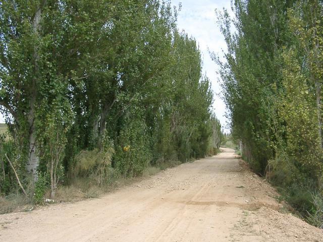
(visited by Ramon Barrachina and Mary Castillo) 16-Aug-2002 -- On August 16th, 2002, my wife Mary and I decided to make a 200 miles (330 km) trip with the aim of visiting the only confluence point (CP) remaining in Aragon (Spain) and the last unattempted one of the Greenwich Meridian in Europe (terrestrial). As opposed to the other two confluences we had also visited (41N 0º and 41N1W), that lie on rather accessible places, this one became unreacheable for us, and for any other common sense confluence hunter: the 42ºN 0º CP lies in the middle of a corn field and as usual in summer, it had just been irrigated. We could not go closer than 240 m to the CP, and had to remain on the dirt track that starts on the irrigation canal at about a mile westwards and passes across corn and sunflower fields. The rest of this narrative is intended to help following visitors. I recommend doing the visit at the end of the corn season (Dec.-Jan.) and soon before the field was eventually sown with barley, as this is a common practice in fertile and well irrigated lands. I also recommend the use of the ‘landowner_es.doc’ letter and eventually try to contact them. The best way to reach the CP is taking, in Laperdiguera town, the road shown in picture #8 until it crosses over the irrigation canal, where you should leave the road turning left. And finally, don’t miss a visit to the near town of Berbegal, located above a 1765 feet (538 m) hill that dominates the whole region, and with the added bonus of having the Greenwich Meridian passing across the town, as its inhabitants proudly claim. 16-Aug-2002 -- El 16 de Agosto del 2002, mi esposa y yo decidimos hacer un recorrido de unos 330 km con el propósito de visitar el único punto de confluencia (PC) que quedaba en Aragón (España) y el último PC todavía no intentado del Meridiano de Greenwich en Europa (en tierra). A diferencia de las otras dos confluencias que habíamos visitado (41ºN 0º y 41ºN 1ºO), que están situadas en lugares accesibles, ésta resultó inalcanzable para nosotros y para cualquier otro cazador de confluencias con sentido común: el PC 42ºN 0º cae en medio de un campo de maíz y como es habitual en verano, estaba completamente regado. No pudimos llegar a menos de 240 m del PC. Tuvimos que quedarnos en el camino de tierra que empieza en el canal de riego a km y medio hacia el oeste y discurre a través de campos de maíz y girasol. El resto de esta narrativa va destinado a ayudar a los próximos visitantes. Recomiendo hacer la visita al final de la cosecha de maíz (Dic.-Ene.) y antes de que los campos puedan ser sembrados de cebada, ya que esta práctica suele ser habitual en tierras fértiles y regables. También recomiendo disponer de la carta de ‘recomendación’ para los propietarios (landowner_es.doc) y/o tratar de contactar con ellos. La mejor vía de aproximación al PC es tomar, en Laperdiguera, la carretera mostrada en la foto #8 hasta que ésta pasa sobre un canal de riego, donde debe girarse a la izquierda. Y finalmente, no hay que dejar de visitar el pueblo de Berbegal, emplazado en lo alto de un cerro de 538 m de altitud que domina toda la región, con la curiosidad añadida de que el Meridiano de Greenwich pasa por él, como sus habitantes orgullosamente proclaman. |
| All pictures |
| #1: General view from 1/2 mile at the SW of the CP / Vista general desde a 800 m al SO #2: GPS #3: East view / Vista al este #4: NW view / Vista al NO #5: Mary & Ramon: SE view / Vista al SE #6: Berbegal #7: Irrigation canal / Canal de riego #8: Map & approaching track / Mapa y recorridos ALL: All pictures on one page |