|

Iceland
38.2 km (23.7 miles) ESE of Efri-Núpur (Vestur-Húnavatnssýsla), Austur-Húnavatnssýsla, Iceland
Approx. altitude: 789 m
(2588 ft)
([?] maps: Google MapQuest OpenStreetMap ConfluenceNavigator)
Antipode: 65°S 160°E
Accuracy: 20 m (65 ft)
Quality: good
Click on any of the images for the full-sized picture.


| 65°N 20°W (visit #1) |
![Visit #2: [08-Jul-19]](/is/all/n65w020v2/preview.jpg "Visit #2: [08-Jul-19]")

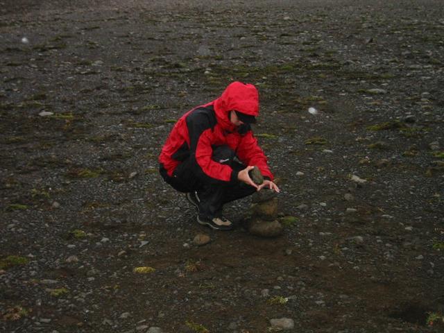
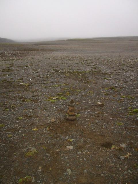
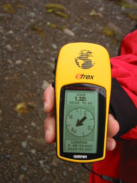
(visited by Adam Chalcraft, Nick Mayer and Ross Remnant) 15-Aug-2002 -- The confluence lies amongst moss-covered rocks, but there's not much else here, so Nick continued an Icelandic road-side tradition and built a small cairn. We hired a truck from Reykjavik and set out around Iceland, mainly to see the country but also to pick up as many of the remaining confluences as we could fit into our journey. This is the third and last confluence on our list. It turned out to be the easiest, but not the most interesting. It lies near the Hallmundarhraun area of lava boulders, just North of the Langjokull glacier. We drove South along the F578 track, turning left onto an unnamed track at a junction (or a pole, at any rate). This goes through some typically bleak landscape, and then goes just a few metres from the confluence. The lighting conditions were poor, but then the sun never rises very high in the sky here. We took the obligatory photo of the GPS unit and the views North, East, South and West. |
| All pictures |
| #1: The confluence #2: The GPS unit #3: The view North #4: The view South #5: The view East #6: The view West #7: Nick building a cairn #8: The cairn #9: What passes for a junction in Iceland ALL: All pictures on one page |