|

South Africa : KwaZulu-Natal
near Nkungwini, KwaZulu-Natal, South Africa
Approx. altitude: 659 m
(2162 ft)
([?] maps: Google MapQuest OpenStreetMap ConfluenceNavigator)
Antipode: 27°N 148°W
Accuracy: 15 m (49 ft)
Quality: good
Click on any of the images for the full-sized picture.


| 27°S 32°E (visit #1) |
![Visit #2: [30-Apr-06]](/za/all/s27e032v2/preview.jpg "Visit #2: [30-Apr-06]")

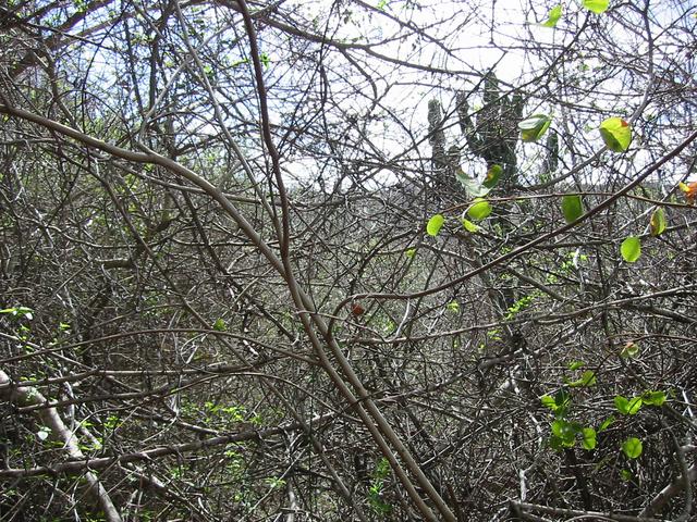
(visited by Walter Sigl, Ellen Lenz, Angela Noske and Heinz Noske) 11-Aug-2002 -- After we had discovered the Confluence 26S 32E there, we left Lomahasha, Swaziland on 10 August at about 11 am in a southerly direction to attempt the Confluence 27S 32E. Our party consisted of 4 members: Walter Sigl, our guide, his friend, Ellen Lenz, my husband, Heinz Noske and myself, Angela. It was not clear from our map material on which side of the Lebombo mountains the borderline was situated. We assumed the Confluence somewhere either on top or just before the mountains parting Swaziland from South Africa. In order to find out we chose the road from Lomahasha towards Golela inside Swaziland. Shortly before the village of Nsoko the GPS pointed into an easterly direction only 3 miles (5 km) away from the road. It was very tempting to believe that the Confluence was just in front of a sheer face of rock that raised a few hundred meters into the sky. Just before Nsoko was Nisela game reserve, which we believed to hold the Confluence away from our reach. We assumed that the game farm would reach back far enough towards the mountains from were we would attempt to scale the rock wall. So we booked a safari tour in a jeep, but to our dismay, the border of the game reserve was only a few miles inland, behind which was a farm dam, behind which were some extensive sugar cane fields, after which were the mountains. We asked the startled driver to take us back to the entrance of the reserve. He could not understand why we had paid money for the jeep and were not at all interested in the game. When we asked him which road to take to get to the farm behind the reserve he was even more bewildered, but nevertheless gave us the name of the farmer. We visited the farmer on his extremely beautiful estate, where the family had a lively BBQ party going. They let us into the property and also started scratching heads when we tried to tell them what we wanted to do. After some lengthy discussion and explaining, we could finally establish that the border of South Africa was on top of the mountains and the Confluence, too, was therefore on top. The farmer, who himself was in fact from South Africa, knew the area well, and, since he owns a helicopter and a GPS himself, was able to even describe the route we would have to take, once being in South Africa. Unfortunately, the small border post in Ingwavuna had been closed some years ago, so we would have to leave the country through Golela in the south of Swaziland, which was such a detour that we almost dropped our intention, for time reasons. We went to a lodge in Nsoko to stay over night and deliberated for quite a while over BBQ and wine whether or not to attempt the Confluence. Next morning we tried to leave early and left for the Confluence. The travel to Ingwavuna was fast and eventless. After Ingwavuna we had to rely on the sugar farmer’s directions and they where fairly accurate. We found the bridge crossing the Ingwavuna river were he said we would find it. After that we followed a gravel road in north-easterly direction. After 5 km on the track, we were as close as 600 m in reach of the Confluence, but were a bit daunted by the prospect of having to walk too far over the rough land. Little rural settlements of local subsistence farmers were scattered all over the area around us, but there were schools, and it seemed that water pipelines provided the people with fresh drinking water. It was Sunday and everyone was on the way home from church. We caused quite a stir in this far-off area. After driving around for a while, we could not come any closer to the Confluence, and so we decided to leave one car behind on a fallow field and carry on with the Pajero somewhat nearer to our destination. We women decided to walk and admire the landscape instead. Where there was no farmland, there was scrub and rich flora. We moved into a thicket and as we got closer to the point, the scrub got ever denser. After a while we had to crawl through very dense scrub but finally were rewarded by a very good GPS reading at 11h30 am at a small opening. As I mentioned before, the scrub was right around us and we could not see much. After mapping the Confluence, we decided to have a picnic lunch nearby under the watchful eyes of some locals whom we invited to join us in. They were very friendly and polite and we enjoyed a peaceful lunch in the warm midday sun. |
| All pictures |
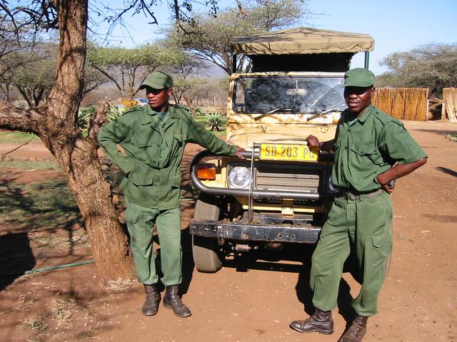
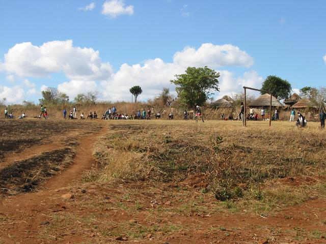
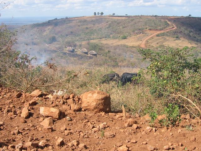
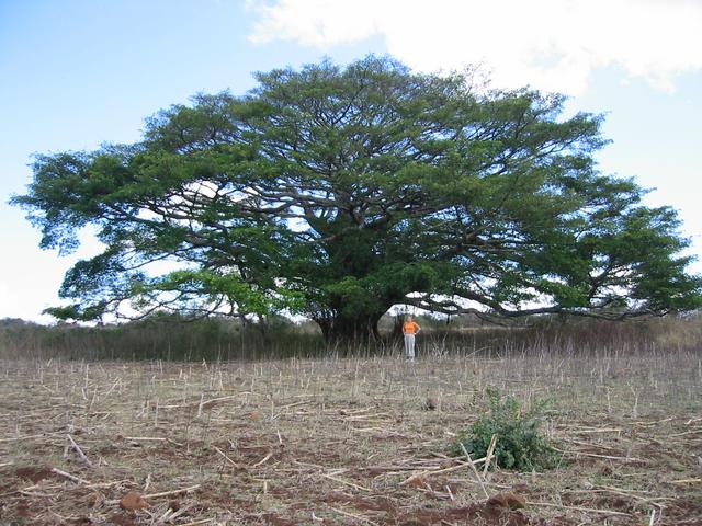
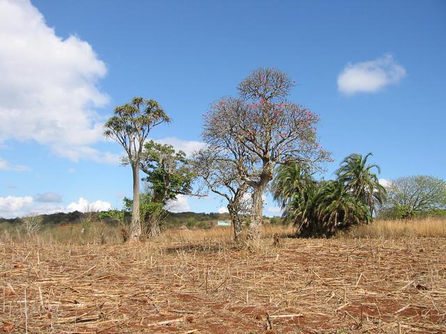
| #1: Trees near Confluence #2: Looking north from the Confluence in the scrub #3: Another big tree near the Confluence #4: GPS reading #5: Ellen, Heinz and Angela near the point #6: View towards the Confluence from Swaziland #7: Safari guides #8: Soccer match in a village #9: Zulu village ALL: All pictures on one page |
| Notes |
|
The borderline with Swaziland is running about 1.3 km WNW of the Confluence. |