|

Canada : Yukon
16.4 km (10.2 miles) N of Canyon, YT, Canada
Approx. altitude: 872 m
(2860 ft)
([?] maps: Google MapQuest OpenStreetMap topo topo250 ConfluenceNavigator)
Antipode: 61°S 43°E
Accuracy: 5 m (16 ft)
Quality: good
Click on any of the images for the full-sized picture.


| 61°N 137°W (visit #1) | (secondary) |
![Visit #4: [04-Jul-16]](/ca/yk/n61w137v4/preview.jpg "Visit #4: [04-Jul-16]")
![Visit #3: [03-Jun-09]](/ca/yk/n61w137v3/preview.jpg "Visit #3: [03-Jun-09]")
![Visit #2: [09-Aug-07]](/ca/yk/n61w137v2/preview.jpg "Visit #2: [09-Aug-07]")

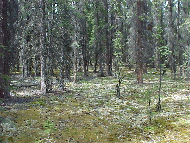
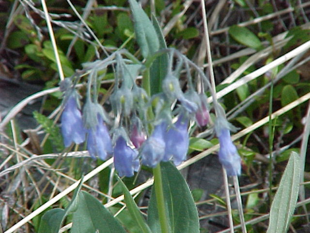
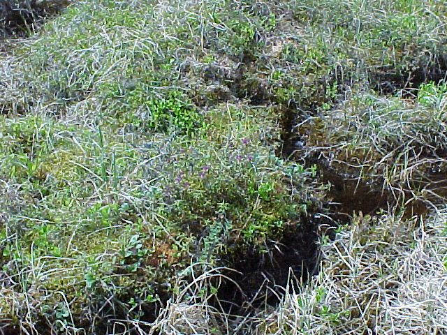
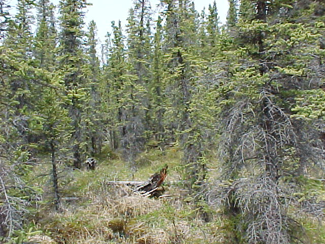
(visited by Brian Butler) 13-Jun-2002 -- On the way from Whitehorse, Yukon to a task in Haines, Alaska, I would be near 4 confluences and decided to take advantage of this fact. The confluence at 61N 137W was closest to the road and would be my target this trip. Other confluences (60N 137W, 61N 136W and 61N 138W) were photographed for potential trips at a later date. The trip to 61N 137W began at the Otter Falls Cutoff on the Alaska Highway. Otter Falls was featured on the Canadian five dollar bill a few decades ago. Driving north on the Aishihik Road for about 17 km brought me to a clear parking spot and the beginning of my hike. Previous work with topographic maps, OziExplorer and other tools identified the hike as 4.6 km with an elevation gain of approximately 300m. The view from the parking spot across the Aishihik valley is great and the sparse undergrowth at the beginning of the hike promised a "nice walk". The "walk" quickly became an obstacle course of old burned deadfalls, wild roses and willow shrubs ... prime moose and bear territory but not easy going. The trip in and back took 3 hours including about 30 minutes to confirm the confluence location. Close to the confluence, the spruce forest contained little undergrowth and should have been a warning to me. The confluence is on the far (eastern) side of small but very wet spruce bog! Doing the "zeros dance" with my GPS for about 15 minutes turned into a soggy experience. The photos show the flowers and plants, and views from the confluence to the north, south and south west ... the direction I came. Using the averaging function on my GPS took approximately 15 more minutes and allowed the mosquito population plenty of time to enjoy a snack. No bears or moose were sighted but moose tracks, moose droppings and bear rubs were spotted. In all, an interesting trip and a great start to my confluence hunting. |
| All pictures |
| #1: View to the South #2: View to the North #3: View to the Southwest #4: Poplar Forest #5: Spruce Forest #6: Bog flowers #7: Bog Plants ALL: All pictures on one page |