|

Denmark
16.0 km (9.9 miles) NW of Sejerby, Sejerø (Island), Vestsjælland, Denmark
Approx. altitude: 0 m
(0 ft)
([?] maps: Google MapQuest OpenStreetMap ConfluenceNavigator)
Antipode: 56°S 169°W
Accuracy: 52 m (170 ft)
Quality: good
Click on any of the images for the full-sized picture.


| 56°N 11°E (visit #2) | (secondary) |
![Visit #3: [31-Aug-04]](/dk/all/n56e011v3/preview.jpg "Visit #3: [31-Aug-04]")
![Visit #1: [06-May-02]](/dk/all/n56e011/preview.jpg "Visit #1: [06-May-02]")

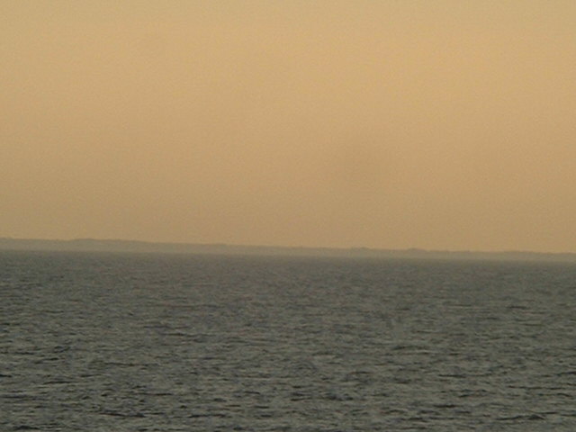
(visited by Captain Peter, Valentyn Smirnov, Volodymyr Kokorev and Volodymyr Sydorenko) 21-May-2002 -- We are back in the Baltic Sea, and passing through the Kattegat we
decided
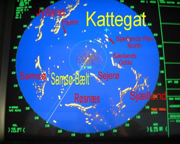
to visit again The scenery, a jumble of capes and islands in the Southern Kattegat, can be best understood when looking into the Radar . In excellent visibility, as today, we can see several objects from the Confluence:
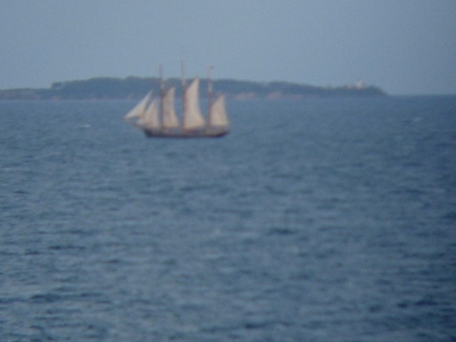
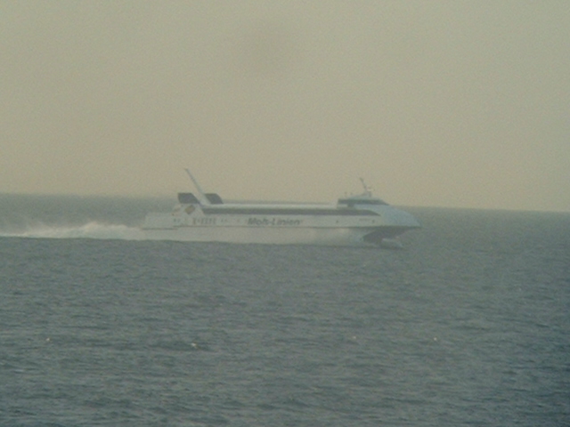
Many Danish ports are linked with the so called "Hurtigfæren", High Speed Ferries. |
| All pictures |
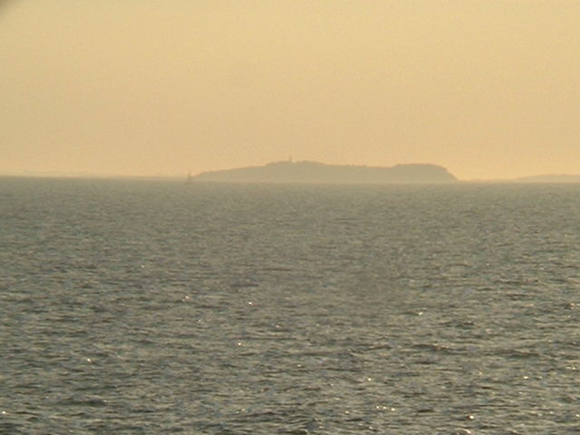
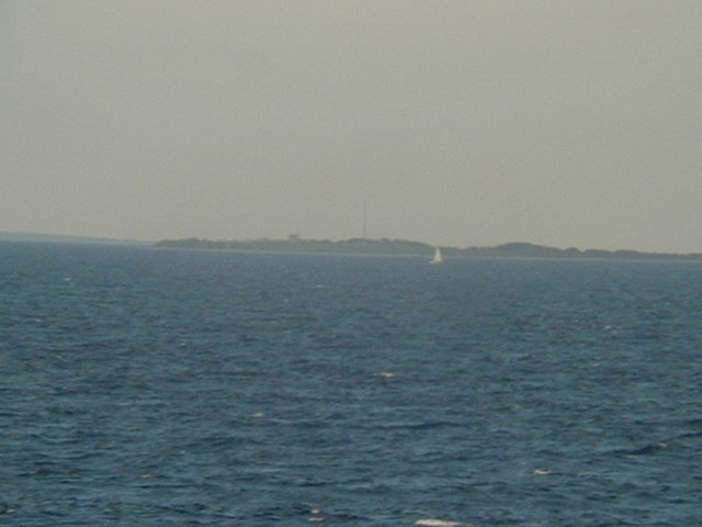
| #1: Sejerø Island #2: GPS #3: Radar #4: Hjelm Island #5: Jylland Peninsula #6: Lighthouse of Sjællands Rev #7: Cape Sjællands Odde #8: Cape Røsnæs #9: Samsø Island #10: "Hurtigfæren", High Speed Ferries ALL: All pictures on one page |
| Notes |
|
In the sea, offshore |