|

Denmark
8.5 km (5.3 miles) WNW of Hvide Sande, Ringkøbing, Denmark
Approx. altitude: 0 m
(0 ft)
([?] maps: Google MapQuest OpenStreetMap ConfluenceNavigator)
Antipode: 56°S 172°W
Accuracy: 56 m (183 ft)
Quality: good
Click on any of the images for the full-sized picture.


| 56°N 8°E | (secondary) |

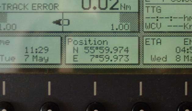
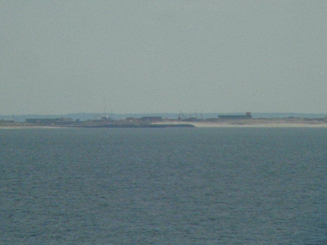
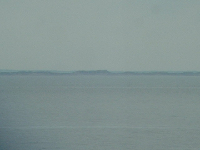
(visited by Captain Peter, Valentyn Smirnov, Volodymyr Kokorev and Volodymyr Sydorenko) 07-May-2002 -- Sailing South along the West coast of Denmark today we visited 56°N/8°E. The confluence is situated 7.4 km West of Hvide Sande ("White Sand"). Hvide Sande is a small port on a narrow tongue of land, called Holmsland Klit, and located on the inlet to the Ringkøbing Fjord. Along the West coast of Jylland there are many sand dunes, Jylland is visited by a lot of tourists who like extensive walking tours. On the radar the inlet to the Fjord is clearly visible. |
| All pictures |
| #1: Hvide Sande #2: GPS #3: Map #4: Sand Dunes #5: Radar ALL: All pictures on one page |
| Notes |
|
In the sea, offshore |