|

South Africa : Western Cape
5.8 km (3.6 miles) NW of Knysna, Western Cape, South Africa
Approx. altitude: 44 m
(144 ft)
([?] maps: Google MapQuest OpenStreetMap ConfluenceNavigator)
Antipode: 34°N 157°W
Accuracy: 5 m (16 ft)
Quality: good
Click on any of the images for the full-sized picture.


| 34°S 23°E (visit #2) |
![Visit #4: [03-Jan-21]](/za/all/s34e023v4/preview.jpg "Visit #4: [03-Jan-21]")
![Visit #3: [18-May-09]](/za/all/s34e023v3/preview.jpg "Visit #3: [18-May-09]")
![Visit #1: [04-Sep-01]](/za/all/s34e023/preview.jpg "Visit #1: [04-Sep-01]")

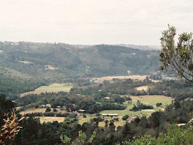
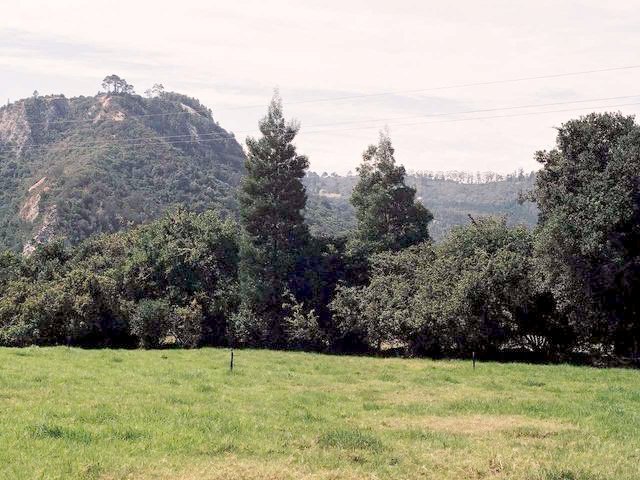
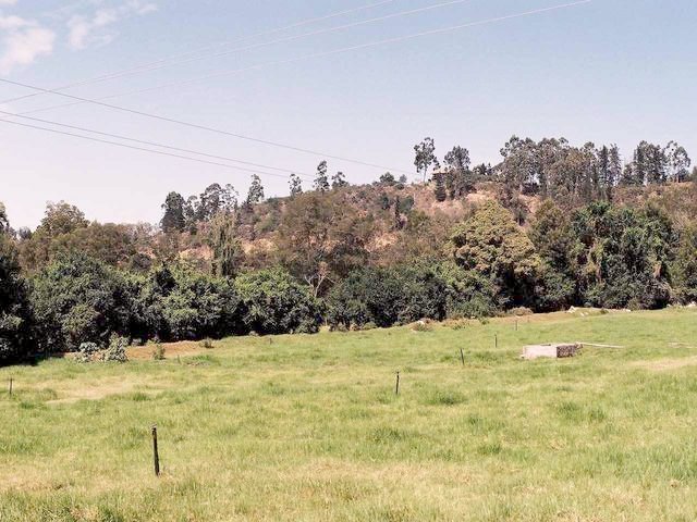
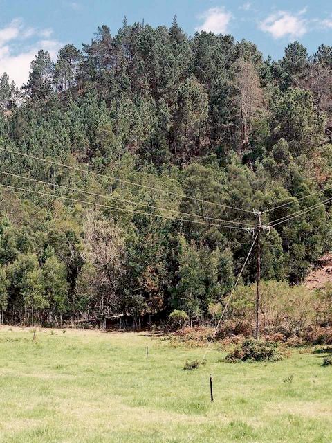
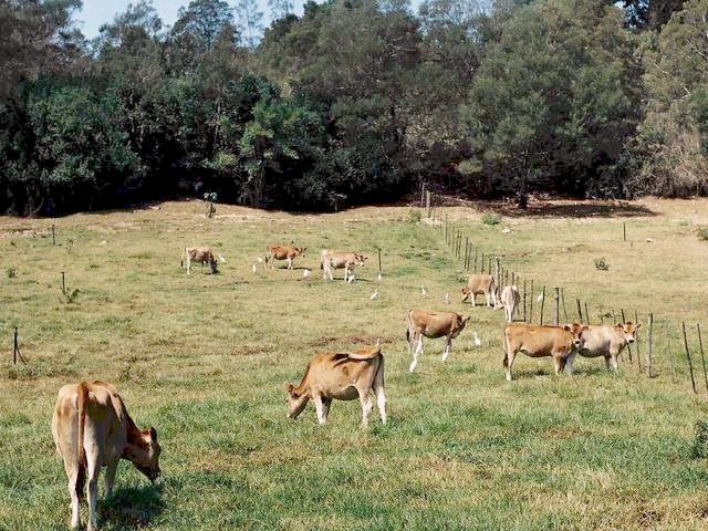
(visited by Peter Hers and Jocelyn Hers) 07-Mar-2002 -- The previous visitor to this point was unsuccessful due to a locked gate. As we were on holidays nearby and know the area well we decided this should be an easy one to bag. The reference point for this Confluence is also misleading as it is only a few kilometres out of Knysna, a lovely little town in the middle of the Garden Route. Knysna lies amidst superb scenery on the northern shores of the Knysna Lagoon. It is famous for its natural forests where the rare and beautiful stinkwood, yellowwood, witels and other varieties of trees grow. The Knysna Heads are two imposing cliffs at the entrance to the lagoon. The protected lagoon has become a sought after place to live, and is also home to an oyster farming project. We chose a hot sunny day for our trip and followed the road up the Phantom Pass, as did the previous visitor. Photo 2 shows a general view of the valley from high up on the pass. The actual confluence point is in a meadow on the left of the photo. Retracing our route down the pass we found the entrance to the farm. It was not locked so we drove in and went up to farmhouse. The temperature was a stifling 35° C with not a breath of wind. Some dogs at the house got up, barked for a while, and then lay down again in the shade. We found the farmer was not at home, but a servant said she would not mind if we took photos in the fields. So we drove a little further and then walked up through the fields until we located the confluence point. This was in the middle of an irrigated field, used for cattle and sheep. Photos 1, 3, 4, and 5 show the views from the field. Photo 6 was taken of some of the cattle on the way out of the farm. We left a copy of the Confluence Project letter of introduction with our telephone number at the farmhouse, and carried on back to Knysna and a long, cool drink! That evening the owner called us and we explained the Project in more detail. Coordinator's Note: This confluence point was reindexed to reflect that there is, in fact, a city closer than 100 miles! |
| All pictures |
| #1: View to North #2: General view from Phantom Pass #3: View to West #4: View to South #5: View to East #6: Farm animals ALL: All pictures on one page |