|

South Africa : Eastern Cape
1.9 km (1.2 miles) SSE of Sanddrif, Eastern Cape, South Africa
Approx. altitude: 206 m
(675 ft)
([?] maps: Google MapQuest OpenStreetMap ConfluenceNavigator)
Antipode: 34°N 156°W
Accuracy: 10 m (32 ft)
Quality: good
Click on any of the images for the full-sized picture.


| 34°S 24°E (visit #1) |
![Visit #3: [02-Jan-21]](/za/all/s34e024v3/preview.jpg "Visit #3: [02-Jan-21]")
![Visit #2: [17-May-09]](/za/all/s34e024v2/preview.jpg "Visit #2: [17-May-09]")

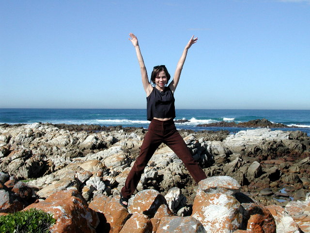
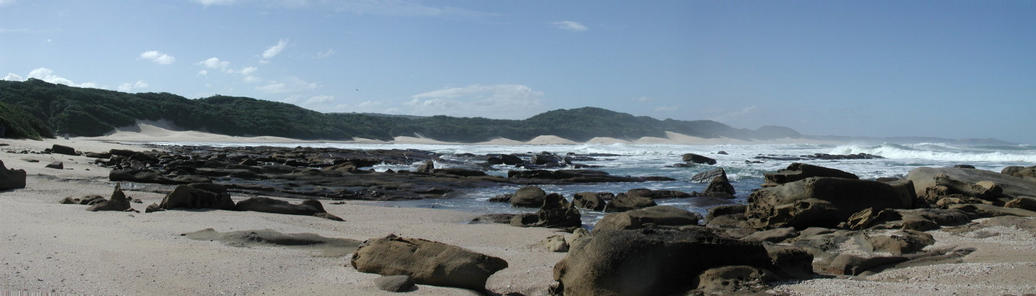
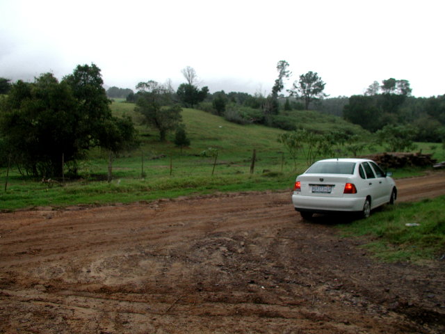
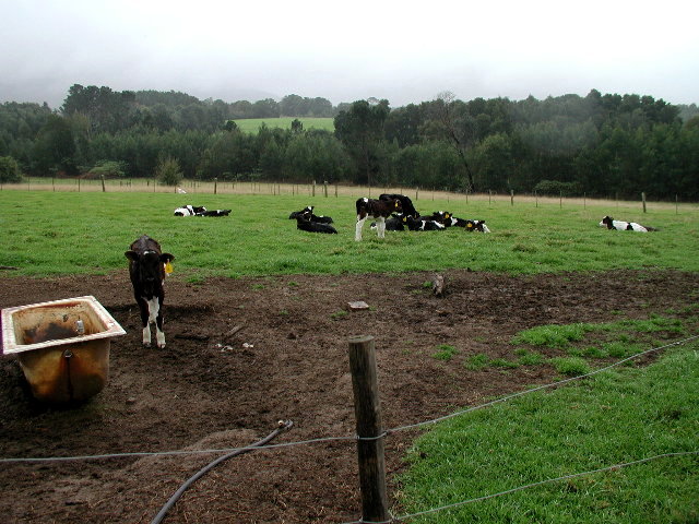
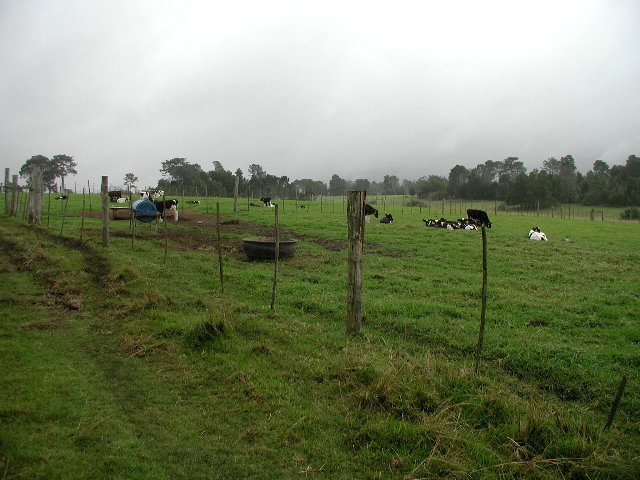
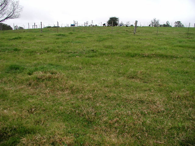
(visited by David Guier and Iwona Wasilewska) 04-Sep-2001 -- Some time ago, September 4, 2001, to be exact, intrepid travelling companion Iwona Wasilewska and I woke up to a beautiful day in Port Elizabeth, South Africa, right on the Indian Ocean. We were travelling from Gaborone, Botswana, to Capetown by rental car and I decided to I try to capture several Confluences on that day. Facilitating this endeavour was South African highway N2, which from Port Elizabeth runs approximately 300 kilometres east to west almost along the 34th parallel. Soon the weather turned inclement. In search of the first Confluence, 34°S 24°E, we turned off N2 about 5 kilometres north of the Indian Ocean and drove south toward it on what had been a dirt road. Now it was raining and the road was muddy, which didn’t bode well for our two-wheel drive rental car. Deeper we drove into the forest along that muddy road, following the direction our GPS was giving us, turning left, then right, powering through mud and puddles of muddy water. Finally, we came to a clearing with fenced pastures. The GPS reported the location of the Confluence about 140 metres across one fence, up a hill, and over another fence. Not ones to take to trespassing lightly, the need for this potential transgression was removed however when a local farmer showed up in his beat up pickup truck not speaking a word of English but smiling profusely. I showed him my camera, pointed up the hill and he seemed to get the idea, so off I went with the GPS in hand while Iwona intrepidly remained dry in the rental car. At the top of the hill I found a couple of bathtubs, a herd of cows and the Confluence in the middle of a small field. In spite of the foul weather, capturing Confluences was rather an easy affair, or so I thought... |
| All pictures |
| #1: 34°S 24°E Confluence #2: Daybreak #3: Beautiful day by the Indian Ocean #4: Over the hill #5: Foul weather friends #6: Foul weather friends, different view ALL: All pictures on one page |