|

France : Bretagne
2.5 km (1.6 miles) E of Ergué-Gabéric, Finistère, Bretagne, France
Approx. altitude: 42 m
(137 ft)
([?] maps: Google MapQuest OpenStreetMap ConfluenceNavigator)
Antipode: 48°S 176°E
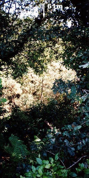
Accuracy: 61 m (200 ft)
Quality: good
Click on any of the images for the full-sized picture.


| 48°N 4°W (visit #1) |
![Visit #9: [03-Jun-22]](/fr/all/n48w004v9/preview.jpg "Visit #9: [03-Jun-22]")
![Visit #8: [25-Dec-17]](/fr/all/n48w004v8/preview.jpg "Visit #8: [25-Dec-17]")
![Visit #7: [02-Sep-16]](/fr/all/n48w004v7/preview.jpg "Visit #7: [02-Sep-16]")
![Visit #6: [26-Jun-10]](/fr/all/n48w004v6/preview.jpg "Visit #6: [26-Jun-10]")
![Visit #4: [07-Sep-08]](/fr/all/n48w004v4/preview.jpg "Visit #4: [07-Sep-08]")
![Visit #3: [27-Jul-02]](/fr/all/n48w004v3/preview.jpg "Visit #3: [27-Jul-02]")
![Visit #5: [07-Sep-01]](/fr/all/n48w004v5/preview.jpg "Visit #5: [07-Sep-01]")
![Visit #2: [23-Aug-01]](/fr/all/n48w004v2/preview.jpg "Visit #2: [23-Aug-01]")
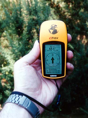
 (visited by Geoffrey Chaudoir) 26-Jul-2001 -- I remember that when I discovered the Degree Confluence Project, I promised myself to submit a confluence, one day. So when I bought a small GPS about one year later, its first challenge was rather obvious. Unfortunately, all confluences in Belgium had already been visited, so I had to find one abroad. That's when I realized there was one unexplored confluence in Bretagne, France, where I was going this summer. It was quite a detour from my actual destination - nearly 200 km more to the West (actually France's westernmost confluence) - but I didn't mind. Before going, I bought a 1:25000 map of the surroundings (in the rural community of Ergué-Gabéric, close to the city of Quimper) to prepare my trip. It showed a small road nearby, but the confluence seemed to be located on a steep, bushy hill near a river. I assumed it would be easy to approach the confluence, although the last hundred meters might prove difficult. Probably no chasms, quicksands or deadly animals like those guarding some of the most exotic confluences, just hard terrain, but I'm no Indiana Jones - rather a credit-card adventurer ;-)
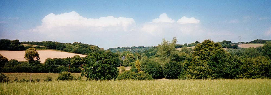
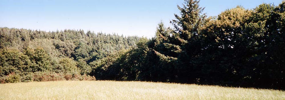
photo 1: The panorama looking north-east from the confluence. At least, according to my eTrex, I'm well within 100 m of the confluence, so I can consider the visit successful. By the way, if you are in the vicinity, make sure to visit Kerdévot's chapel at 48.0063°N by 3.9809°W - a much more interesting sight :-) I take another couple of pictures, and go back to my overheated car for the return journey. I still have a long drive ahead to the mythical forest of Brocéliande, land of knights and fairies, but that's another story... Geoffrey. |
| All pictures |
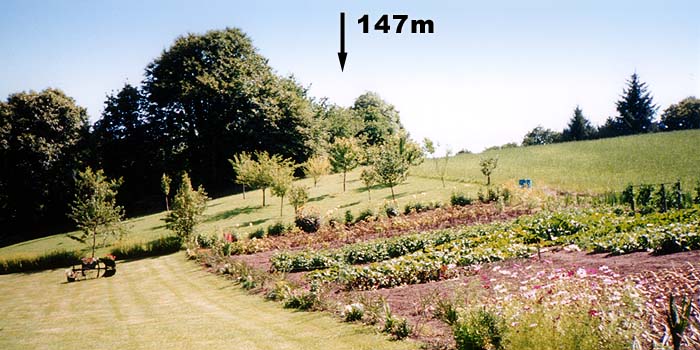
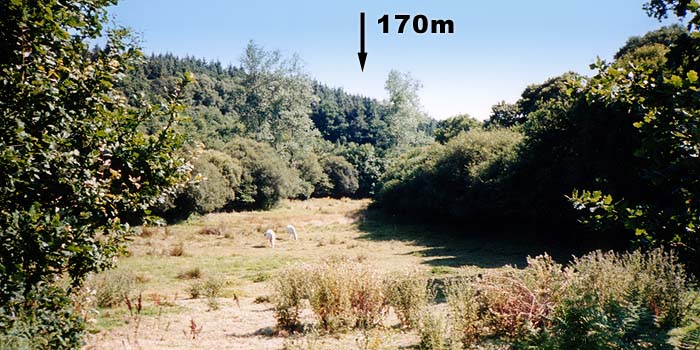
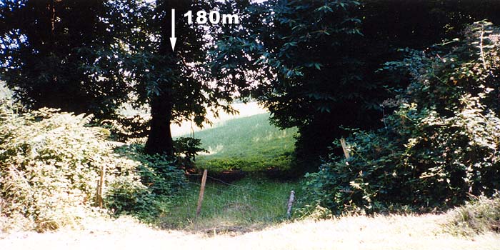
| #1: The panorama looking north-east from the confluence #2: Path leading the wrong way #3: Nice garden #4: White horses #5: Small river #6: Breached fence #7: The confluence is beyond the trees #8: Wall of brambles in the way #9: Traditional GPS picture ALL: All pictures on one page |