|

Canada : British Columbia
15.8 km (9.8 miles) S of Canford, BC, Canada
Approx. altitude: 927 m
(3041 ft)
([?] maps: Google MapQuest OpenStreetMap topo topo250 ConfluenceNavigator)
Antipode: 50°S 59°E
Accuracy: 1.3 km (1421 yd)
Quality: good
Click on any of the images for the full-sized picture.


| 50°N 121°W (visit #1) | (incomplete) |
![Visit #3: [03-Aug-12]](/ca/bc/n50w121v3/preview.jpg "Visit #3: [03-Aug-12]")
![Visit #2: [14-Jul-01]](/ca/bc/n50w121v2/preview.jpg "Visit #2: [14-Jul-01]")

(visited by Dave Patton and Mal Finch) 02-Jun-2001 -- On the first weekend in June, my friend Mal and I had planned to go hunting for Morel mushrooms. If time permitted, I was hoping to also visit this confluence, which was located not too far from the area where we hoped to find the mushrooms. Morels can grow in various locations and conditions, but we were focused on going to an area where there had been a forest fire the previous summer. We found some Morels on the Friday afternoon, and went back to the burn area on Saturday, where we found some more, including a really good patch which Mal found. Although there were commercial pickers working at the burn, we just search for them for our own use, and decided on Saturday afternoon that we had spent enough time picking, and would head off to find a campsite. The route we took to go to the campsite was going to take us close to the confluence. From the Brookmere exit off the Coquihalla Highway(Hwy 5), we headed along the road, past Kingsvale, towards Merritt. We turned off onto the Spius Creek Forest Service Road, which is also marked as Patchett Road. Almost exactly at the point of the 6KM marker, we hit the 50th parallel, and stopped. It was clear at this point that we wouldn't have enough time to get to the confluence that day, due to it's location, and the time of the day. The confluence was about 1300 meters due west from our location. We drew an arrow on the road, pointing to the confluence, with two sticks for the arrowhead, and the GPS at the tip of the arrow. To get to the confluence from this area it appears that you would have to cross a farm, and also Midday Creek. A little way down the road is a driveway to a residence, apparently of the landowner. The farm, if not the confluence itself, is on land that is part of Paul's Basin Indian Reserve 2. |
| All pictures |
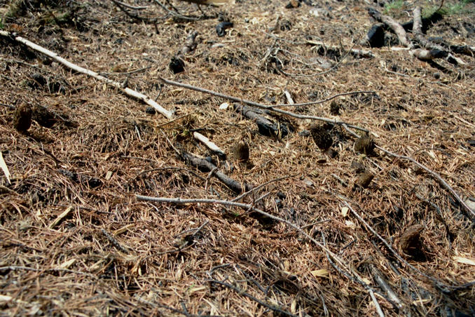
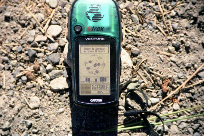
| #1: Arrow on the road pointing to confluence #2: GPS position at head of arrow #3: Morels from earlier in the day #4: Morel close-up ALL: All pictures on one page |