|

Sweden
8.3 km (5.2 miles) NE of Kårehamn, Öland (Island), Kalmar, Sweden
Approx. altitude: 0 m
(0 ft)
([?] maps: Google MapQuest OpenStreetMap ConfluenceNavigator)
Antipode: 57°S 163°W
Accuracy: 13 m (42 ft)
Quality: good
Click on any of the images for the full-sized picture.


| 57°N 17°E | (secondary) |

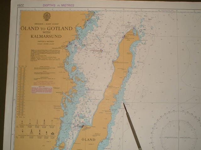
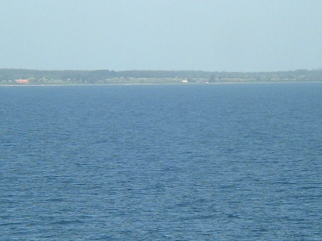
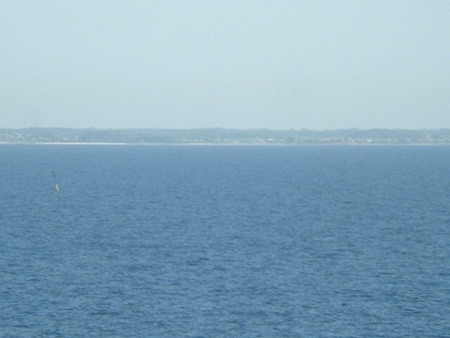
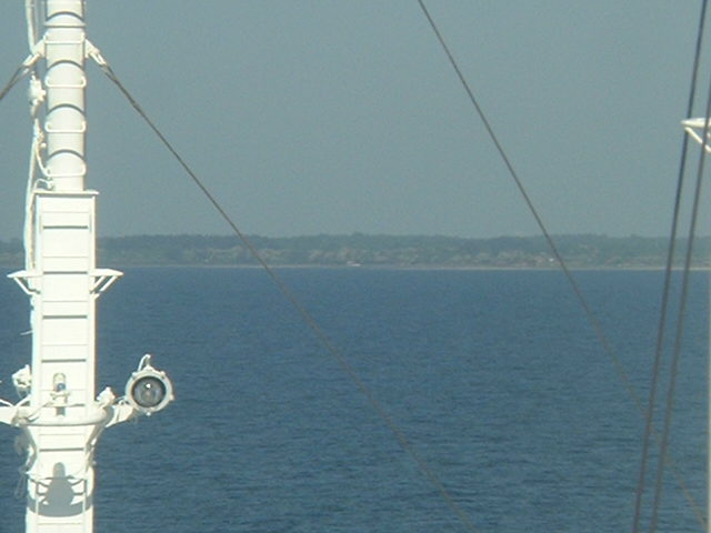
(visited by Captain Peter, Volodymyr Kokorev and Volodymyr Sydorenko) 08-Jun-2002 -- After having discharged our Moroccan oranges at Saint Petersburg, we received the order to proceed to the Nord-Ostsee-Kanal ("Kiel-Kanal") and thence to proceed to Pascagoula MS, in order to load a cargo of frozen chicken for Russia. Outbound the Baltic Sea this time we passed Öland Island. In the Eastern side of its Northern part there is 57°N / 17°E. The coast was well visible from the confluence. The mapped Klappervall-buoy, advising the shallow water of Yttergrund (Outer Ground), shown in the chart was visible as well but we couldn't catch it with our camera. Kårehamn is a fishing and leisure craft harbor. The scenery presented itself on the radar screen as well. We are enclosing another picture from the coastline, seen ahead when turning towards South. |
| All pictures |
| #1: coast from the confluence #2: Map of confluence and Öland Island #3: GPS #4: Navigational chart showing the bouy #5: Kårehamn #6: Radar #7: Another picture of nearby coast ALL: All pictures on one page |
| Notes |
|
In the Baltic Sea, about 3.5 km from Öland's coast. |