|

Morocco
1.4 km (0.9 miles) SSE of Al Aâroui, L'Oriental, Morocco
Approx. altitude: 171 m
(561 ft)
([?] maps: Google MapQuest OpenStreetMap ConfluenceNavigator)
Antipode: 35°S 177°E
Accuracy: 5 m (16 ft)
Quality: good
Click on any of the images for the full-sized picture.


| 35°N 3°W |

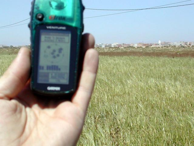
(visited by Marco Simola, Penny, Giorgio and Federico) 21-Apr-2002 -- This is my first Confluence, and we found it on our 2nd day in Morocco. We found it quite easily because it is approx. 5 km right from the road we took to get to the Barrage Muḥammad V. We drove 5 km in the field without any road. At the end we arrived at a very little village and we found the Confluence in a barley field. A crowd of onlookers appeared after a while and we tried to explain them what we were doing there. I don't know if they could understand us. Unfortunately Federico took a bad photo of the GPS showing the coordinates of the Confluence. I hope you'll accept them believing to our word. Continued at 31N 4W. |
| All pictures |
| #1: North #2: Confluence #3: East #4: Me, at the Confluence #5: We've made it to the Confluence with the vehicles #6: The bad photo of the GPS... ALL: All pictures on one page |