|

Spain : Canarias
16.3 km (10.1 miles) W of Punta del Jurado (Cape), Isla de Lanzarote, Canarias, Spain
Approx. altitude: 0 m
(0 ft)
([?] maps: Google MapQuest OpenStreetMap ConfluenceNavigator)
Antipode: 29°S 166°E
Accuracy: 7 m (22 ft)
Quality: good
Click on any of the images for the full-sized picture.


 and El Roquete (left)")

| 29°N 14°W |

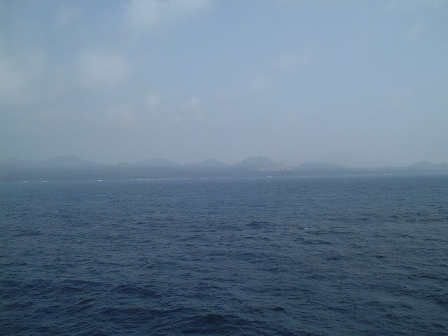
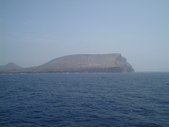
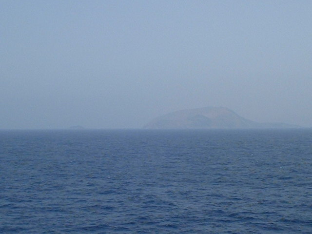
(visited by Captain Peter and Dimitriy Peysakhov) 27-Aug-2002 -- After having refuelled the ship at Ceuta (Spanish Morocco) we continued on our course to Natal (Brazil). Today we arrived at the Eastern Group of the Canary Islands, of which the largest one are Lanzarote and Fuerteventura. Prior reaching the Confluence, we passed the northernmost Island of the Eastern Group, Alegranza, dominated by an extinct volcano, Montaña de la Caldera, which rises to an elevation of 289 metres. The island is uninhabited except for the lighthouse keepers, but it is occasionally visited by a few farmers in search of orchilla, a lichen from which dyes are made. The next small islets to pass were Montaña Clara and El Roquete (Small Rock). Montaña Clara rises to an elevation of 256 metres, and El Roquete is 40 metres high. Finally we arrived at the Confluence, and from there we could see Lanzarote. Lanzarote is transversed throughout its entire length by a chain of high mountains. It is of volcanic origin. The soil, of volcanic earth, is fertile and cultivated. but the island suffers greatly from droughts. By 1974 Lanzarote had become a popular tourist resort. |
| All pictures |
| #1: Lanzarote seen from the Confluence #2: Map #3: Alegranza #4: Montaña Clara Island (right) and El Roquete (left) #5: GPS ALL: All pictures on one page |
| Notes |
|
In the ocean, but with a view of land. |