|

Saudi Arabia : al-Riyād
24.0 km (14.9 miles) SW of An Nazim, al-Riyād, Saudi Arabia
Approx. altitude: 699 m
(2293 ft)
([?] maps: Google MapQuest OpenStreetMap ConfluenceNavigator)
Antipode: 24°S 134°W
Quality: good
Click on any of the images for the full-sized picture.


| 24°N 46°E |

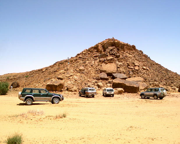
(visited by Gerhard Henrich, Elfi Loew, Helmut Loew, Elisabeth Henrich, Edith Gosewinkel, Trudi Fritz, Heinz Kohler, Udo Gosewinkel, Joerg Fritz and Vanadis Rehfeld) 13-Apr-2001 -- After getting attracted in a computer magazine about the Confluence Project, my friends and I got new ideas of how to spent off-time on the weekends, that is Thursday and Friday here in Saudi Arabia. An initial reading of the map showed the great number of confluences (about 200) within the territory of Saudi Arabia. So, on to new frontiers, and what is the next confluence point to Riyāḍ? We, an international group attended by Swiss, German, Austrian and Bavarian(!) explorers set off on Friday the 13th of April (what a lucky day) to follow the ideas of Alexander Humboldt and meet the confluence of the coordinates 24 North and 46 East, which is about 70 kilometres south-west of Riyāḍ. First 60 kilometres can be driven by tarmac road and the main highway to Makka. It is a nice trip from the heights heading southwest, cutting the great Ṭuwayq, that is the escarpment that builds a barrier some 400 meters high leading from north-east to south-west throughout Saudi Arabia. When leaving the tarmac, we were already in a wide valley (wādī) which is bordered in the west by sand dunes and some mountains in the east marking the western border of the escarpment. Our trip almost followed the 46 degree latitude until we reached a huge farming ground at the west side of the valley. That farming ground was completely surrounded by an earth-work more than one meter high and by this marked the private property. The whole size of the area was estimated for about 10 km². We had little hope to access the ground, but after getting around the corner, we found the gate and met very polite people welcoming us to trace the ground. With good hope we set forward, and after a short time we made it! Joerg jumped off his car and with the GPS on hand he circled around like an eagle fixing the prey. After shooting some photos, there is not much to see since there are no landmarks except that farm and the sand dunes and mountains as mentioned above, we continued our trip to a more interesting landmark that is called Graffiti Rock, some 10 km south of the Confluence. Here one can see ancient graffitis of long time extinct animals and scenarios of hunting and fighting figures. A really interesting location to explore and having some picnic relaxation. Motivated by the successful exploration we are looking forward to the next weekend to come for more Confluences... |
| All pictures |
| #1: View to north #2: View to east #3: View to south #4: View to west #5: GPS reading #6: Graffiti Rock ALL: All pictures on one page |